
Coate Water Country Park
Coate Water Country Park
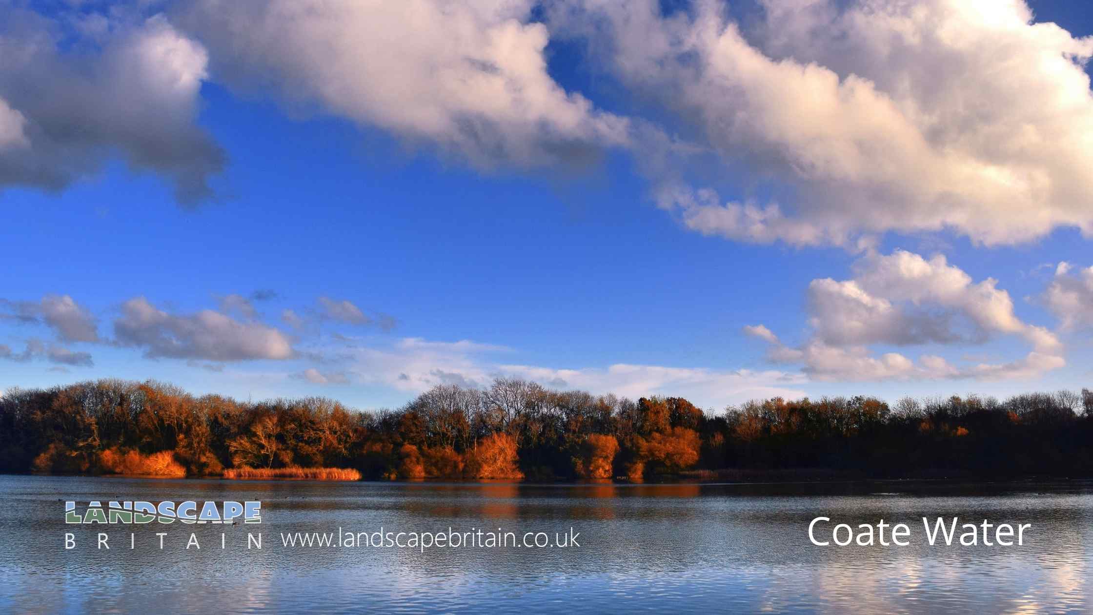
Coate Water Country Park is a country park built around a former reservoir that was created to provide water for the Wiltshire and Berkshire Canal.
The reservoir, which is now a 70 acre lake, was built in 1822 by diverting the River Cole.
The park offers a variety of activities and amenities for visitors, including walking and cycling trails, fishing, bird watching, and a playground. There is also a café on site.
Coate Water Country Park is located 5 km to the southeast of central Swindon, England, near junction 15 of the M4 motorway.
The park is home to a variety of wildlife, including ducks, geese, coots, herons, and kingfishers. There are also several species of fish in the reservoir, including carp, roach, and perch. In addition to the reservoir, there are also a number of other attractions at Coate Water Country Park, including a playground, a café, and a number of walking and cycling trails.
Created: 6 August 2022 Edited: 11 January 2024
Coate Water Country Park Information
Coate Water Country Park Address
Marlborough Rd, Swindon SN3 6AA, UK
SN3 6AA
Website: https://www.swindon.gov.uk/directory_record/8464/coate_water
Get directionsLocal History around Coate Water Country Park
There are some historic monuments around including:
Bowl barrow 300m south-east of Walker's PlantationBowl barrow 85m north east of Day House CottagesThree bowl barrows: part of a barrow cemetery west of Barbury CastleField system and earthwork enclosure on Burderop DownStone circle immediately north east of Day House, CoateWhitefield Hill ditchEarthwork enclosure and dewpond 490m north of Barbury CastleRoman rural sanctuary on Groundwell Ridge, east of Lady LaneMedieval settlement remains at OvertownTwo earthwork enclosures and a linear earthwork 625m north of Barbury CastleBowl barrow 700m south west of Liddington Warren FarmBowl barrow 750m south-east of Barbury Castle FarmSite of Roman town, W of Wanborough HousePreshute Down field systemBanjo enclosure 480m south west of CheldeneTwo bowl barrows 680m north of Upper Herdswick Farm, Barbury DownBarbury Castle: a hillfort and bowl barrowRoman villa 530m west of Stanton HouseSharpridge earthworksBarbury Castle Farm deserted Medieval villageSaucer barrow: part of a barrow cemetery west of Barbury CastleBowl barrow 880m north east of Lower Upham FarmMedieval settlement and associated ridge and furrow, West LeazeBowl barrow 1km west of Sheppard's Farm DairyBarrow on Smeathe's RidgeChurch Hill earthworkHall PlaceSite of watermill 290m south east of West LeazeBowl barrow 210m north east of Rushy Platt FarmLiddington CastleDisc barrow on Burderop Down, 1km north-east of Upper Herdswick FarmRemains of Holy Rood Church, The Lawn, Old TownMedieval settlement remains at SevenhamptonLinear boundary earthwork west of Liddington CastleCross in the churchyard of St John the Baptist and St Helen.


