
Chester City Walls
Chester City Walls
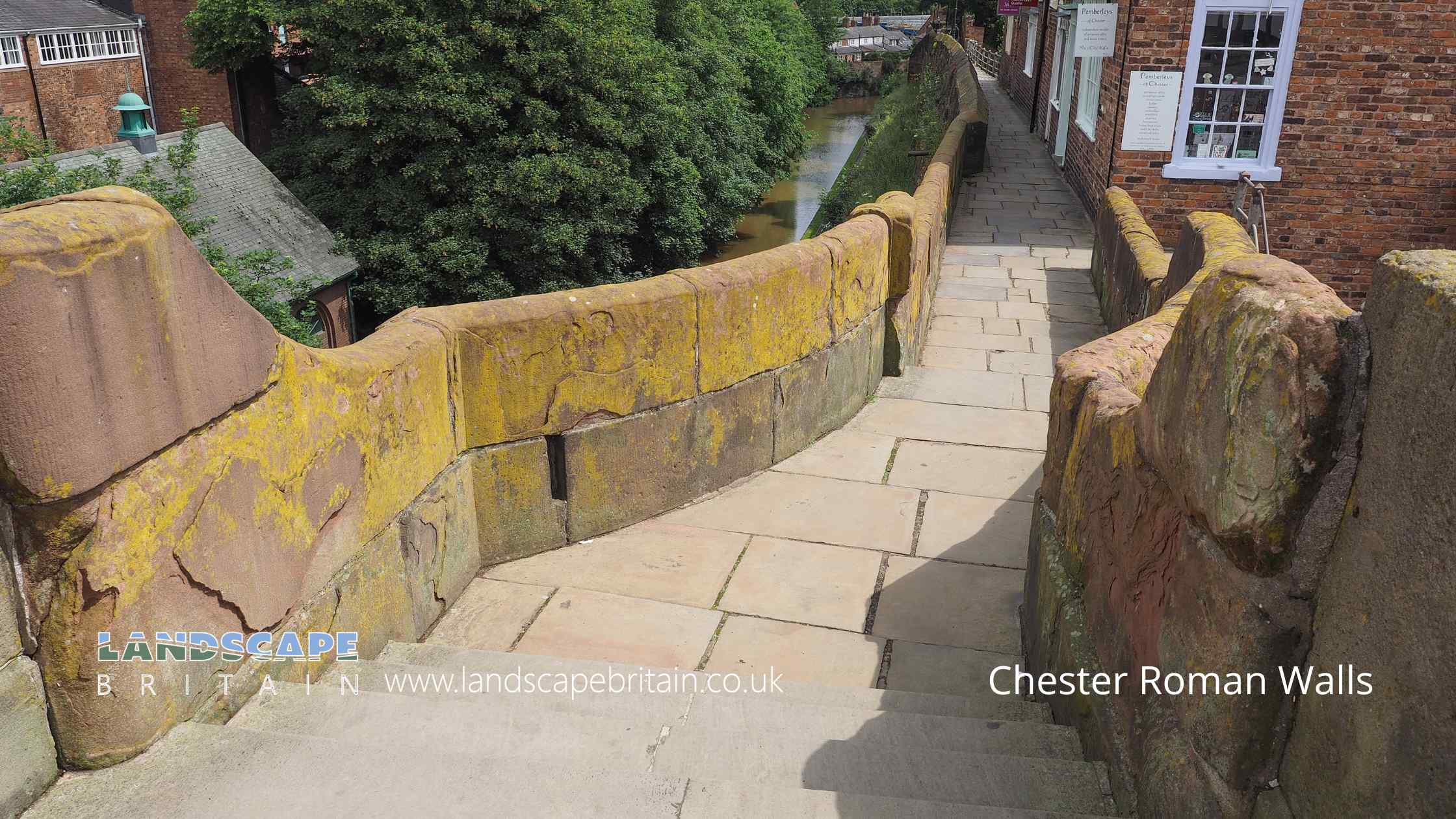
The old city walls of Chester are packed with history and incorporate elements of the walls and towers of the ancient Roman fortress of Deva. The earliest defences were Flavian and date back to the late 1st Century, of which parts of the base of the earth rampart survive beneath the stone walls.
Roman masonry of purple-grey Bunter sandstone on the outer face of the north and east walls and the foundation of the south-east tower of the legionary fortress are probably date to the time of Hadrian in the early 2nd Century but were probably altered and repaired up to 4th Century and the end of Roman occupation.
The medieval walls of softer red sandstone, incorporate masonry of the north and east faces of the Roman walls, but are in part set back from the face and built upon the Roman turf rampart. The medieval walls of Chester were extended in the late 11th Century and early 12th Century by the Norman Earls of Chester, westward and southward to their present position, possibly on a line set out by Aethelfled in 907 when she had refortified the burh. The walls were later strengthened in 1160-61.
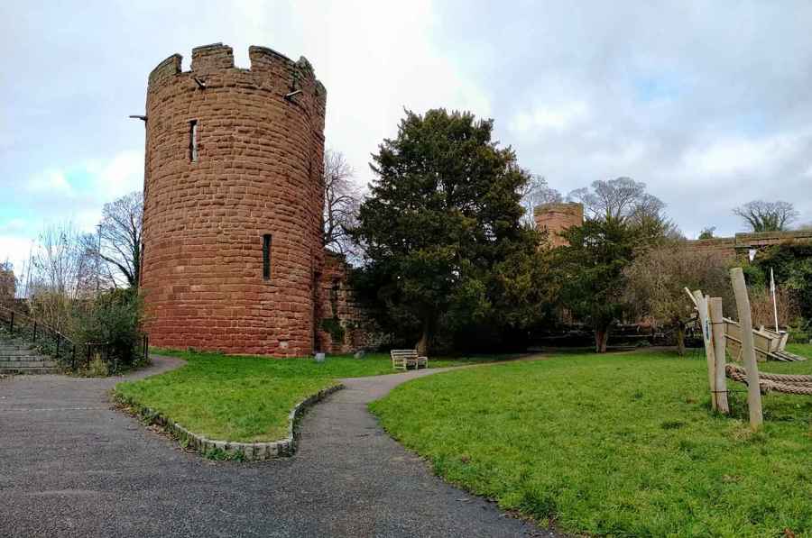
The medieval towers, Bonewaldesthorne’s Tower and the Water Tower, commanding the site of the medieval port date to around 1249 and 1322-6 respectively while Thimbleby’s Tower is remains undated.
Created: 16 December 2020 Edited: 29 November 2023
Chester City Walls

Local History around Chester City Walls
There are some historic monuments around including:
The Little Abbey Gateway, Northgate StreetRoman amphitheatre (southern part)Dodleston Hall moated siteSt Nicholas' ChapelAldford motte and bailey and shell keep castleRoman camp at Upton Heath, beside the water tower north of Long LaneRoman camp on Fox Covert Lane 650m north west of Picton GorseRoman camp at Upton, 350m north east of the water tower north of Long LanePulford motte and bailey castleBruera moated site and adjacent field systemChester Castle (part)Abbey Green Roman sitePart of a Roman camp at Hoole 200m south of Hoole HallMoated site and fishpond S of Huntington HallThe walls, towers, gates and posterns of the City of ChesterDodleston motte and bailey castleMoated site north-west of Mill Hill House FarmRoman camp 50m south of Elm BankChapel at Chapel House Farm 200m west of Wervin Old HallHeronbridge Roman siteRoman camp 300m west of Upton Grange FarmSt John's Church (ruined portions)Dee BridgeMotte and associated earthworks east of Old RectoryRoman camp at Upton, 400m east of the water tower north of Long LaneRoman quarry including Edgar's Cave and the rock-cut figure of Minerva on Edgar's Field, 150m south west of Dee BridgeStanding cross in St Lawrence's churchyard, StoakMoated site 180m W of Fir Tree FarmBretton Hall Moated Site Huntington Hall moated siteStanding cross in St Mary's churchyardMoated site of Lea Hall, 80m east of Leahall FarmMoated site at Upton Grange, UptonBelgrave moated site and medieval garden.


