Cartwright Hall Gardens by Arthur S
Cartwright Hall Gardens
Created: 17 January 2021 Edited: 29 November 2023
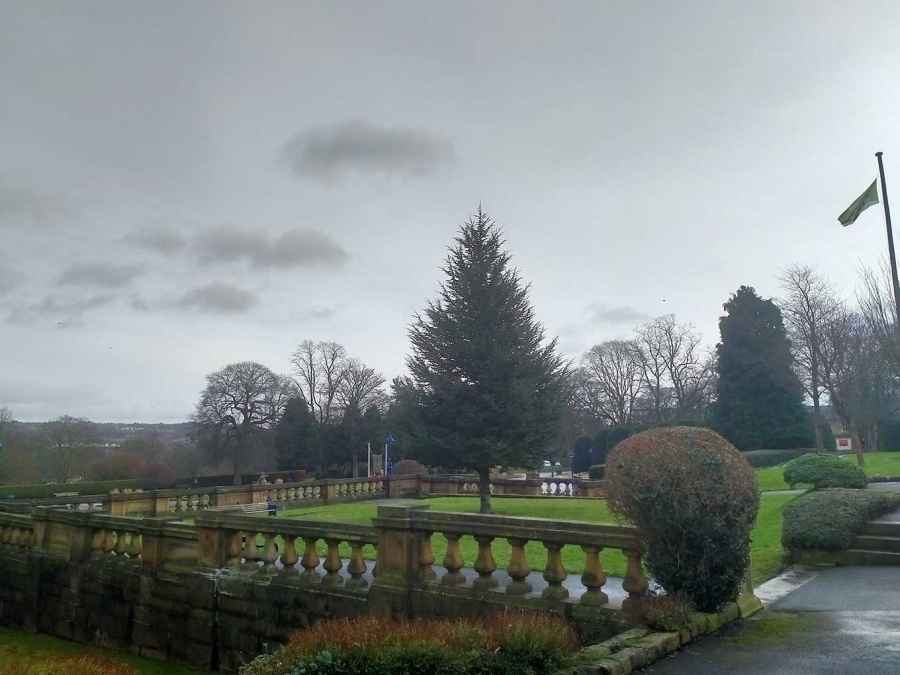
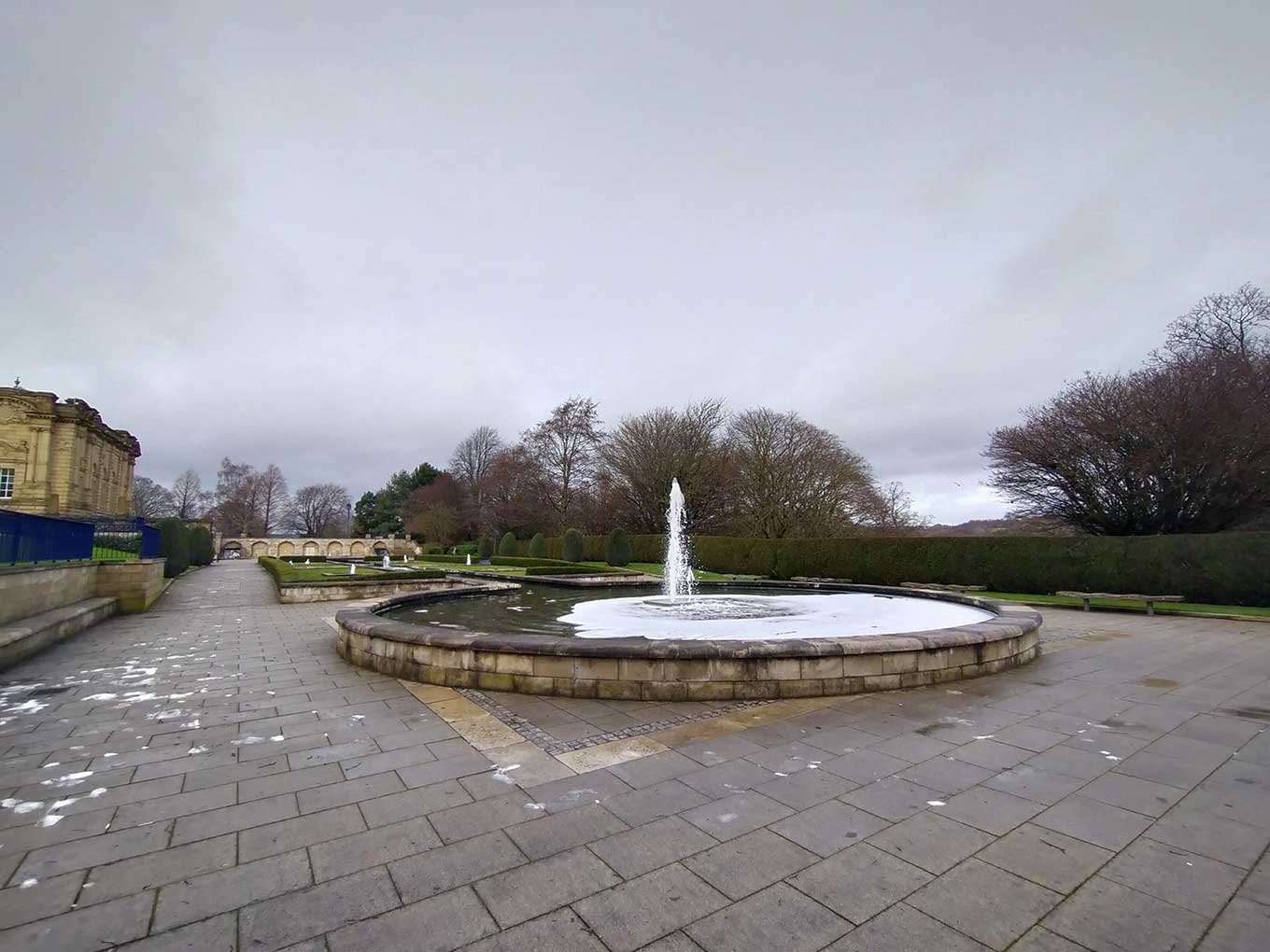
Gardens at Cartwright Hall
Cartwright Hall Gardens Information
Cartwright Hall Gardens Address
10 N Park Rd, Bradford
BD9 4NH
Local History around Cartwright Hall Gardens
There are some historic monuments around including:
Cup-marked rock west of confluence of Lodepit Beck and Glovershaw BeckRound cairn on east flank of Baildon HillCarved rock in field behind Bracken Hall FarmCup and ring marked rock at Hoyle Court Drive, CharlestownRock with single cup near track north of Drake HillCarved rock near north east corner of Glovershaw quarryCup and ring marked rock east of Eaves Crag, Baildon MoorRock with one cup mark north east of the Cricketers' Arms, Baildon GreenNorthernmost of two cairns east of Glovershaw quarry, including adjacent cup-marked rockCup marked rock 60m south west of the War Memorial at Crowgill ParkCup-marked rock on slight bank north east of Glovershaw quarryCup-marked bedrock near Old Glen HouseCarved rock in Hawksworth SpringCup and ring marked rock in Dawson Wood, 370m north east of Heaton ShayCup and groove-marked rock north of Drake HillCairnfield including ring cairn and carved rocks on Low Plain, Baildon MoorCarved rock in spoil of shaft mound south east of Dobrudden caravan parkCup and ring marked rock at Faweather Farm, High EldwickRound barrow and L-shaped earthwork on Baildon Golf CourseCup marked rock 71m south east of Dobrudden caravan parkRoadblock, Bracken Hall Green, Baildon MoorCup marked rock and round cairn south east of Dobrudden caravan parkCup and groove-marked rock on east edge of Glovershaw quarryCarved rock above Bracken Hall Crag, north of the bottom of the track to Mitton SpringCarved rock in the wall at north edge of Otley Road north west of the Fleece InnPrehistoric enclosure, carved rocks and orthostat wall, Buck Wood, 195m west of football groundCup and groove marked rock north of Birch Close Farm house, High EldwickRound cairn and curving bank on Pennythorn HillCup-marked rock between road and public toilets at Bracken Hall GreenCarved rock east of track north of Drake HillBoulder with prehistoric rock art at Glovershaw FarmCup marked rock 180m north of the covered reservoir at BaildonRock with single cup mark south of Dobrudden caravan parkCup and ring marked rock 42m south of Dobrudden caravan parkEnclosed settlement known as `Soldier's Trench' including a cup-marked rockSouthernmost of two cairns east of Glovershaw quarryCup-marked rock close to road south east of a small car park south east of Bracken Hall Farm.Rock with large number of cup marks south of Dobrudden caravan parkCup and groove marked rock in garden of Oakwood Barn, High EldwickRock with single cup mark between road and Pennythorn HillCup and ring marked rock north of Pennythorn HillLate prehistoric enclosed settlement in Crosley Wood, Bingley, 185m north of Scourer BridgeSmall cup-marked rock 30m east of Glovershaw quarryCarved bedrock close to road north east of the public toilets on Bracken Hall GreenSmall carved rock in path east of Glovershaw quarry.


