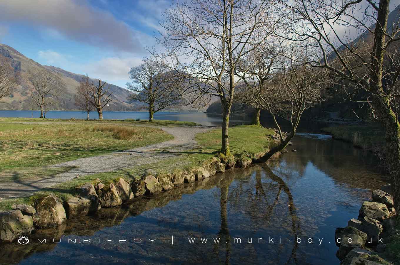
Buttermer Dubs by munki-boy
Buttermere Dubs
Buttermere Dubs is in The Lake District National Park in England.
A section of the River Cocker connecting Crummock Water and Buttermere.
Created: 6 March 2021 Edited: 29 November 2023
Buttermere Dubs
Cocker - Crummock Water and Buttermere Details
Cocker - Crummock Water and Buttermere
Cocker - Crummock Water and Buttermere is a river in Cumbria
Cocker - Crummock Water and Buttermere takes in water from an area around 40.748 km2 in size and is part of the Cocker catchment area.
Cocker - Crummock Water and Buttermere is 24.016 km long and has been heavily modified by industry in the past.
Local History around Buttermere Dubs
There are some historic monuments around including:
Gillerthwaite and Dodsgill Beck medieval settlements, associated field systems and cairnfields 790m ENE and 370m north-east of Low GillerthwaiteRomano-British enclosed hut circle settlement and associated annexe at Lanthwaite GreenForce Crag mines and barytes mill and a prehistoric cairnfieldPrehistoric cairnfield 1.0km ESE of Low GillerthwaiteShieling settlement close to the mouth of Scale BeckMedieval shielings at Great Cove, 2.68km south of Low GillerthwaiteSmithy Beck prehistoric cairnfield, charcoal burning sites, a bloomery and associated earthworks 1.97km WNW of Low GillerthwaiteSmithy Beck settlement: Latterbarrow longhouse 860m north west of Low GillerthwaiteWoundell Beck medieval settlement, associated field system and cairnfield 890m west of Low GillerthwaiteSmithy Beck settlement 1.10km north-west of Low GillerthwaiteRound cairn on GrasmoorMoated site of Loweswater PeleRomano-British farmstead 200m west of Lambing KnottSmithy Beck settlement 1.43km north-west of Low GillerthwaitePrehistoric cairnfield and a Romano-British farmstead and its associated field system 1.24 km ESE of Low Gillerthwaite.


