
Burrs Country Park by JRL
Burrs Country Park
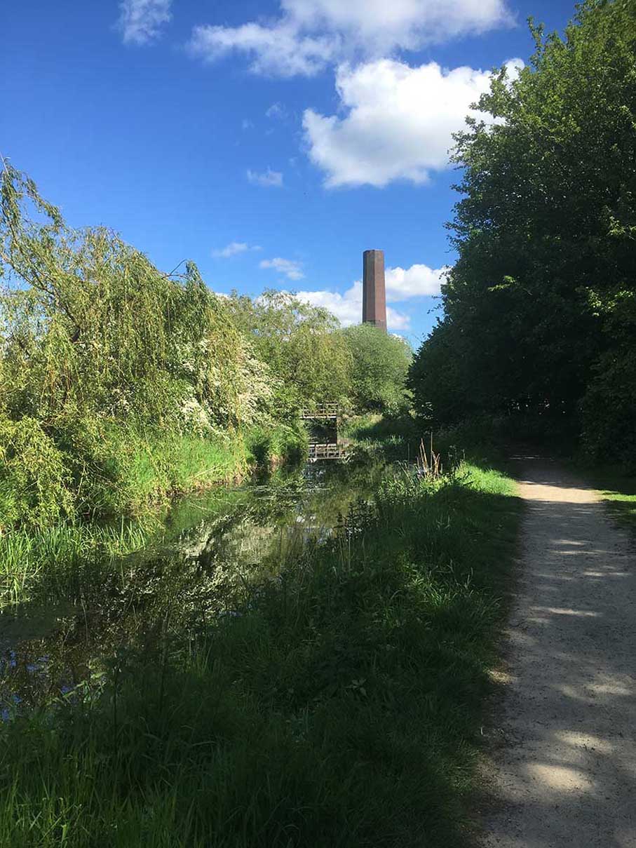
A country park on the River Irwell and the site of the old Burr Mill, the chimney of which is still standing.
Created: 22 May 2019 Edited: 29 November 2023
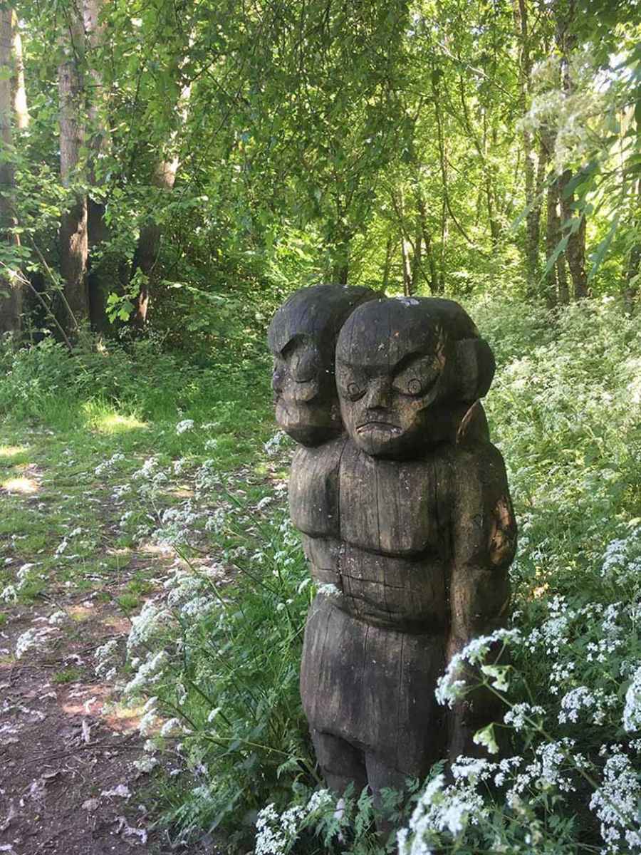
Sculptures at Burrs Country Park
River Irwell at Burrs Country Park
Irwell (Rossendale STW to Roch) Details
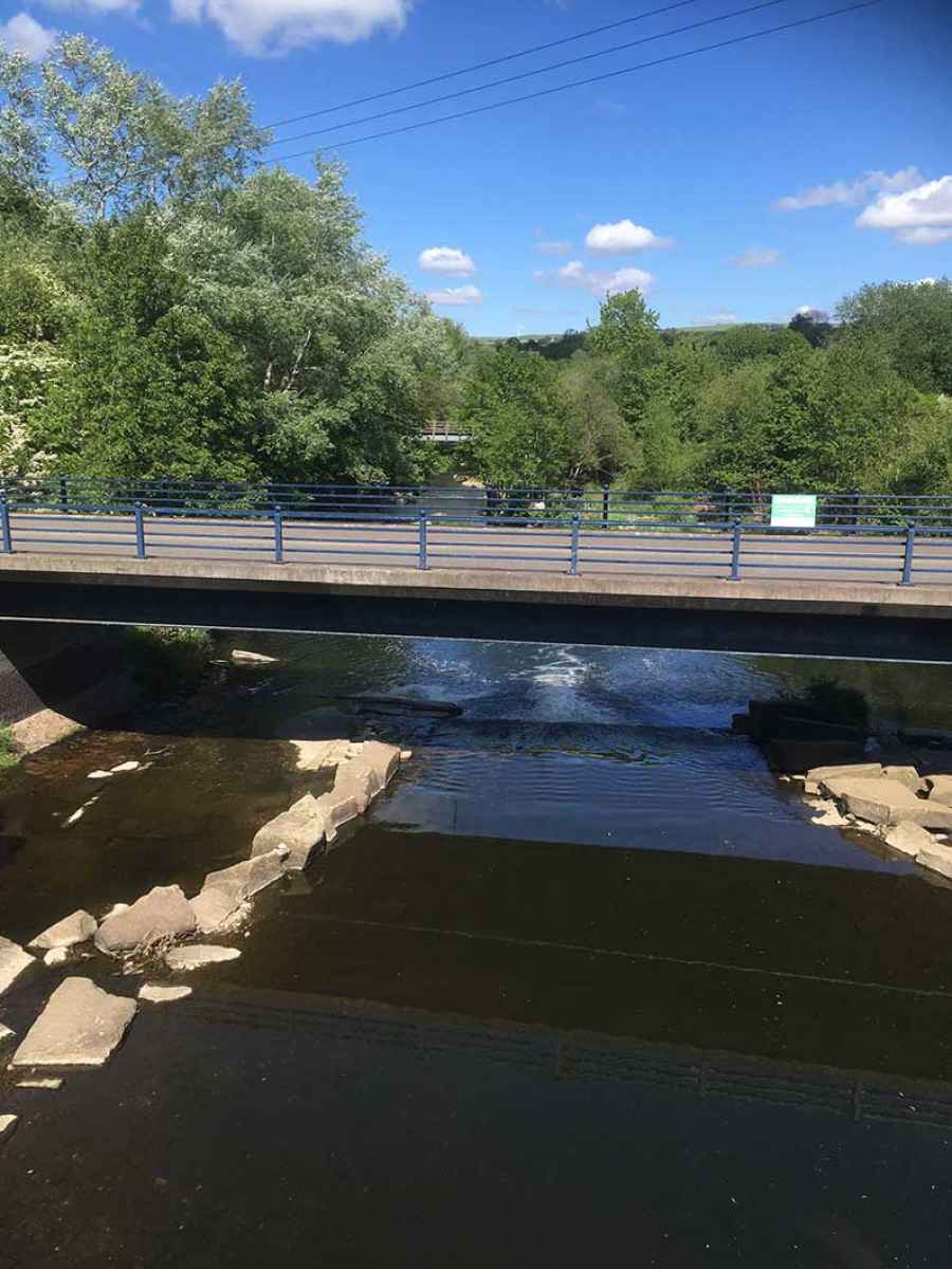
Irwell (Rossendale STW to Roch)
Irwell (Rossendale STW to Roch) is a river in Greater Manchester
Irwell (Rossendale STW to Roch) takes in water from an area around 42.892 km2 in size and is part of the Croal Irwell catchment area.
Irwell (Rossendale STW to Roch) is 32.756 km long and has been heavily modified by industry in the past.
Local History around Burrs Country Park
There are some historic monuments around including:
Ringley Old BridgeMedieval moated site and later fortified manor house known as Bury Castle 100m west of the parish churchRadcliffe Tower and site of hall 100m south west of the parish church in RadcliffePromontory fort called Castlesteads on the east bank of the Irwell 550m SSE of Banks Farm.


