Burnt Edge Farm Ruin by munki-boy
Burnt Edge Farm (ruin)
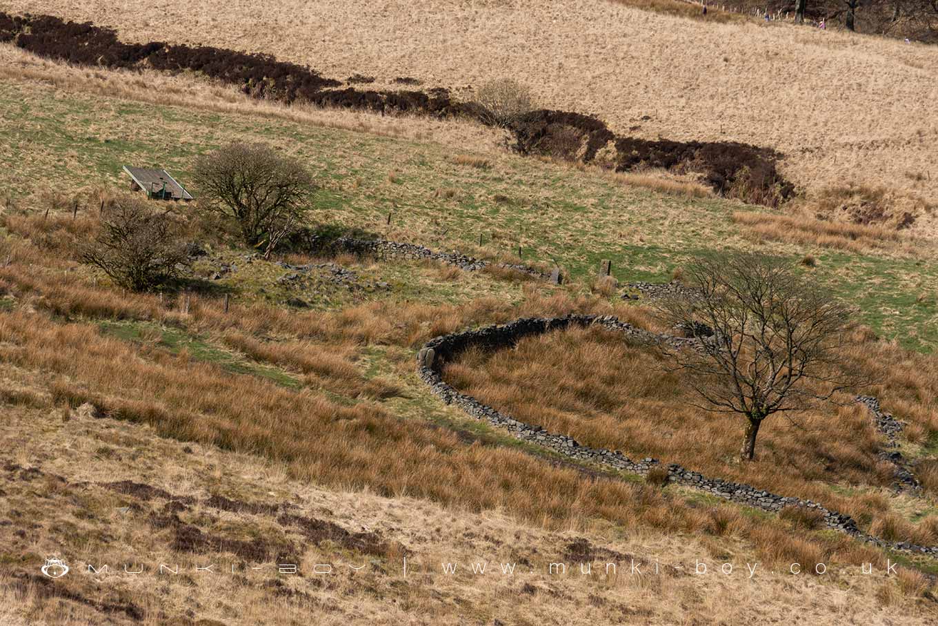
The ruins of Burnt Edge farm that went derelict in the first quarter of the 20th Century.
Interesting rocks displaying Slickensides can be found amongst the drystone walls here - rocks that have been scored at the faces of geological faults, of which there are several close by, one, passing the back of the farm yard wall here.
Created: 5 April 2024 Edited: 26 May 2024
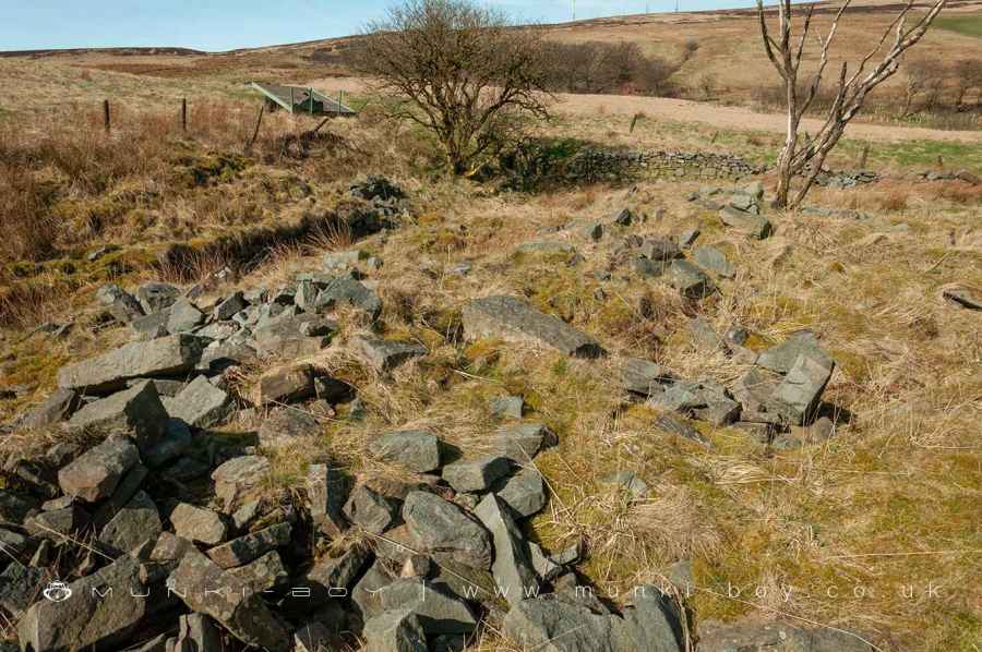
Remains of Burnt Edge Farm
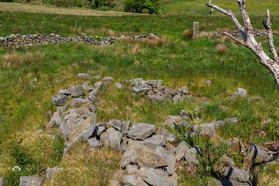
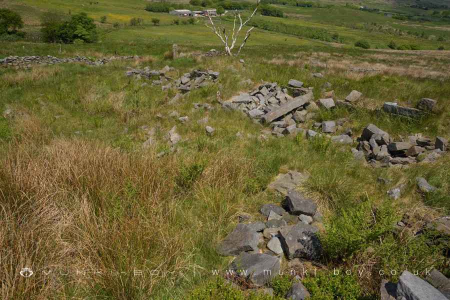
Fallen Walls of Burnt Edge Farm
Ruins of Burnt Edge Farm Farmhouse
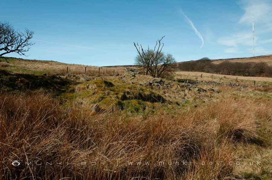
Site of Burnt Edge Farm Farmhouse
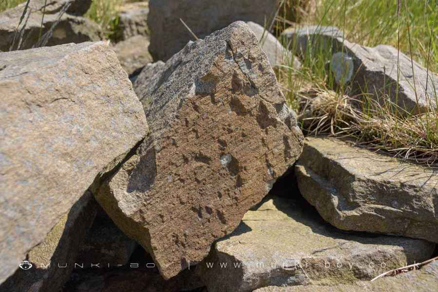
A Slickensides Rock at Burnt Edge Farm
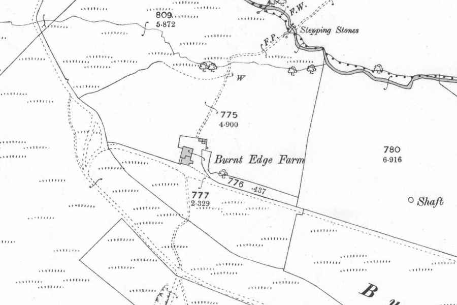
Burnt Edge Farm Map C1900
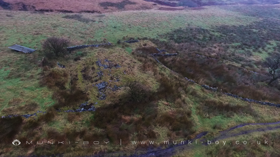
Aerial View of Burnt Edge Farm Ruins
Burnt Edge Farm (ruin)
Burnt Edge Farm (ruin) LiDAR Map

Contains public sector information licensed under the Open Government Licence v3.0
Local History around Burnt Edge Farm (ruin)
There are some historic monuments around including:
Headless Cross, GrimefordRound Loaf bowl barrow on Anglezarke MoorRound cairn on Winter HillPike Stones chambered long cairnRound cairn 280m west of Old Harpers FarmRound cairn on Noon HillGidlow Hall moated site, Aspull, 560m NNE of Pennington Hall.


