Brownfields Quarry by munki-boy
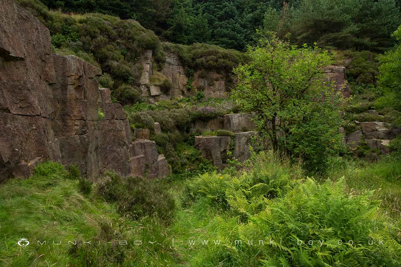
Brownfields Quarry
A small 18th Century quarry above Yarnsdale, now overgrown and a good spot for nature.
Created: 29 May 2021 Edited: 29 November 2023
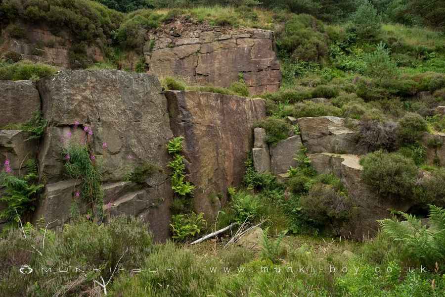
Rock Strata in Brownfields Quarry
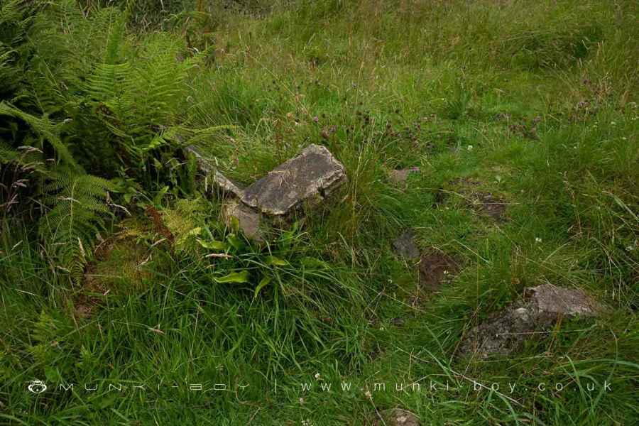
Building Remains in Brownfields Quarry
Brownfields Quarry
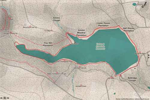
Brownfields Quarry LiDAR Map
Loading LiDAR
please wait...
please wait...
Contains public sector information licensed under the Open Government Licence v3.0
Walks in Brownfields Quarry
Local History around Brownfields Quarry
There are some historic monuments around including:
Round cairn 280m west of Old Harpers FarmSteam tramway reversing triangleStone circle, ring cairn and two round cairns on Cheetham CloseRoman road at Bottom o' th' Knotts BrowCoking ovens and associated coal workings on Aushaw Moss 450m south west of Lower House.


