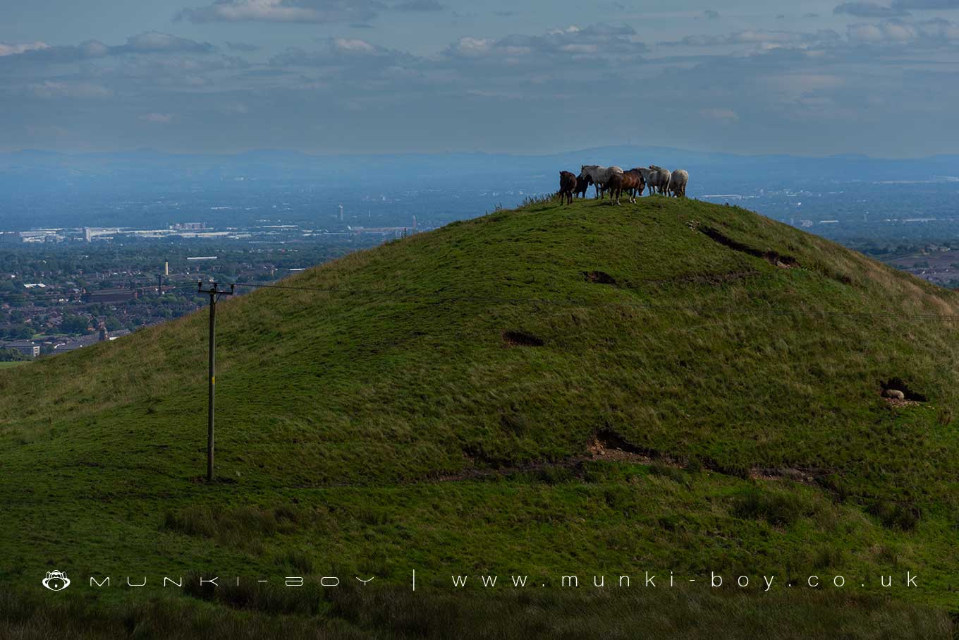
Horses on Brown Lowe by munki-boy
Brown Lowe
Brown Lowe, locally known as Sugarloaf due to its shape being said to resemble what was once a popular form of bread.
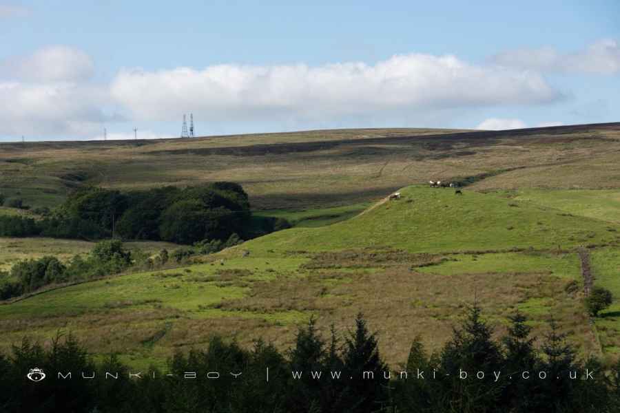
Probably a ‘glacial mound’ and quite noticeable despite being on the lower slopes of Winter Hill above the popular Walker Fold valley.
Created: 29 March 2024 Edited: 26 May 2024
Brown Lowe or Sugarloaf
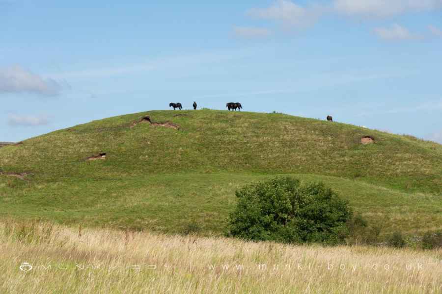
Sugarloaf visible above Walker Fold
Brown Lowe
Brown Lowe LiDAR Map
Loading LiDAR
please wait...
please wait...
Contains public sector information licensed under the Open Government Licence v3.0
Local History around Brown Lowe
There are some historic monuments around including:
Round cairn on Noon HillRound cairn 280m west of Old Harpers FarmRound Loaf bowl barrow on Anglezarke MoorGidlow Hall moated site, Aspull, 560m NNE of Pennington HallPike Stones chambered long cairnRound cairn on Winter HillSteam tramway reversing triangle.


