Brock Valley Picnic Site by munki-boy
Brock Valley Picnic Site
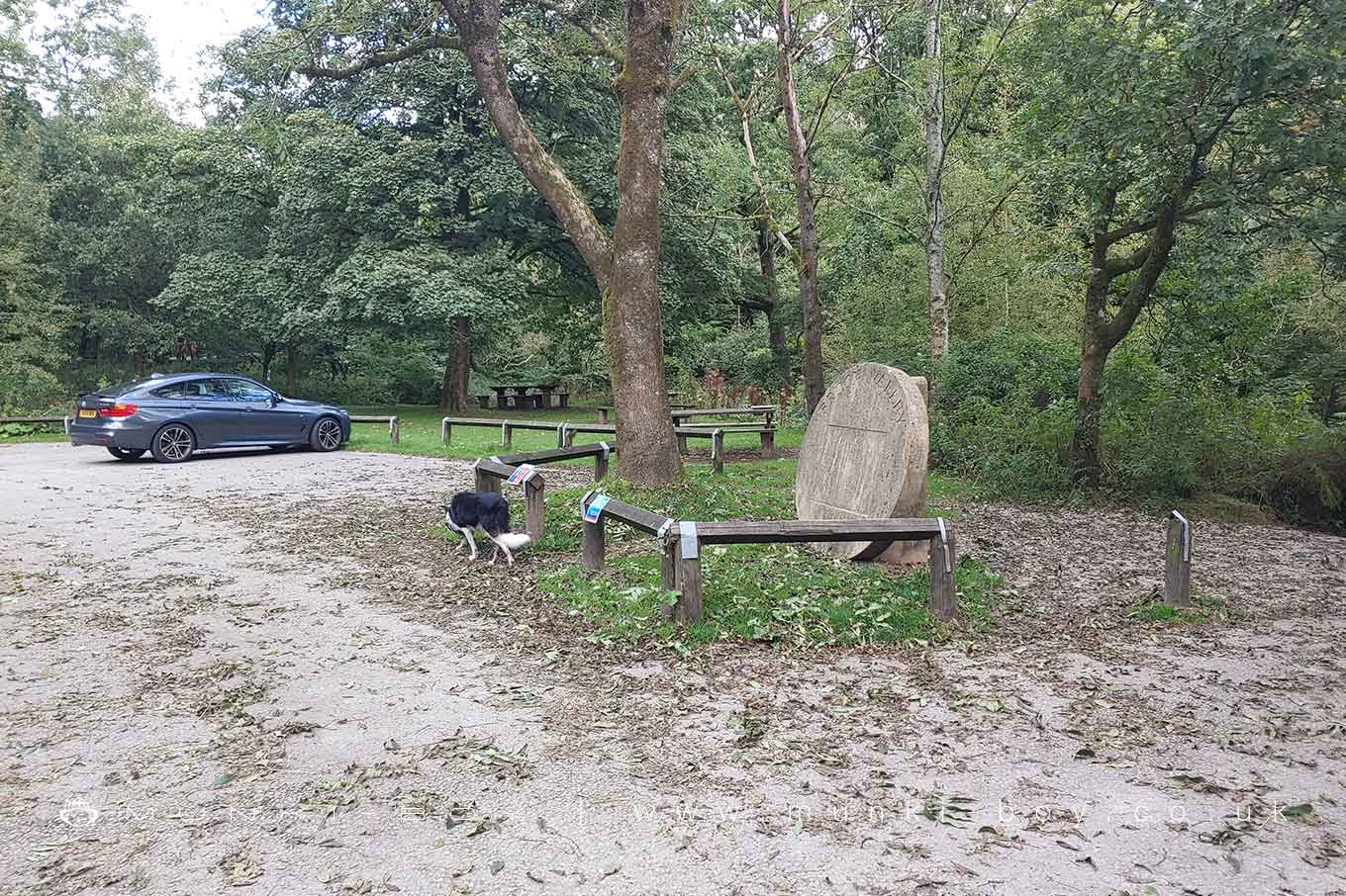
A small car park and picnic area beside the River Brock at Brock Bottom.
Ideal starting point for exploring the woods.
Created: 19 May 2023 Edited: 29 November 2023
Brock Valley Picnic Site
Brock Details
Brock
Brock is a river in Lancashire
Brock takes in water from an area around 40.204 km2 in size and is part of the Brock and Trib catchment area.
Brock is 19.422 km long and is not designated artificial or heavily modified.
Brock Valley Picnic Site LiDAR Map
Loading LiDAR
please wait...
please wait...
Contains public sector information licensed under the Open Government Licence v3.0
Local History around Brock Valley Picnic Site
There are some historic monuments around including:
Chingle Hall moated siteClaughton hlaew in Sandhole WoodBrooks Farm packhorse bridgeBleasdale Circle enclosed Bronze Age urnfield.


