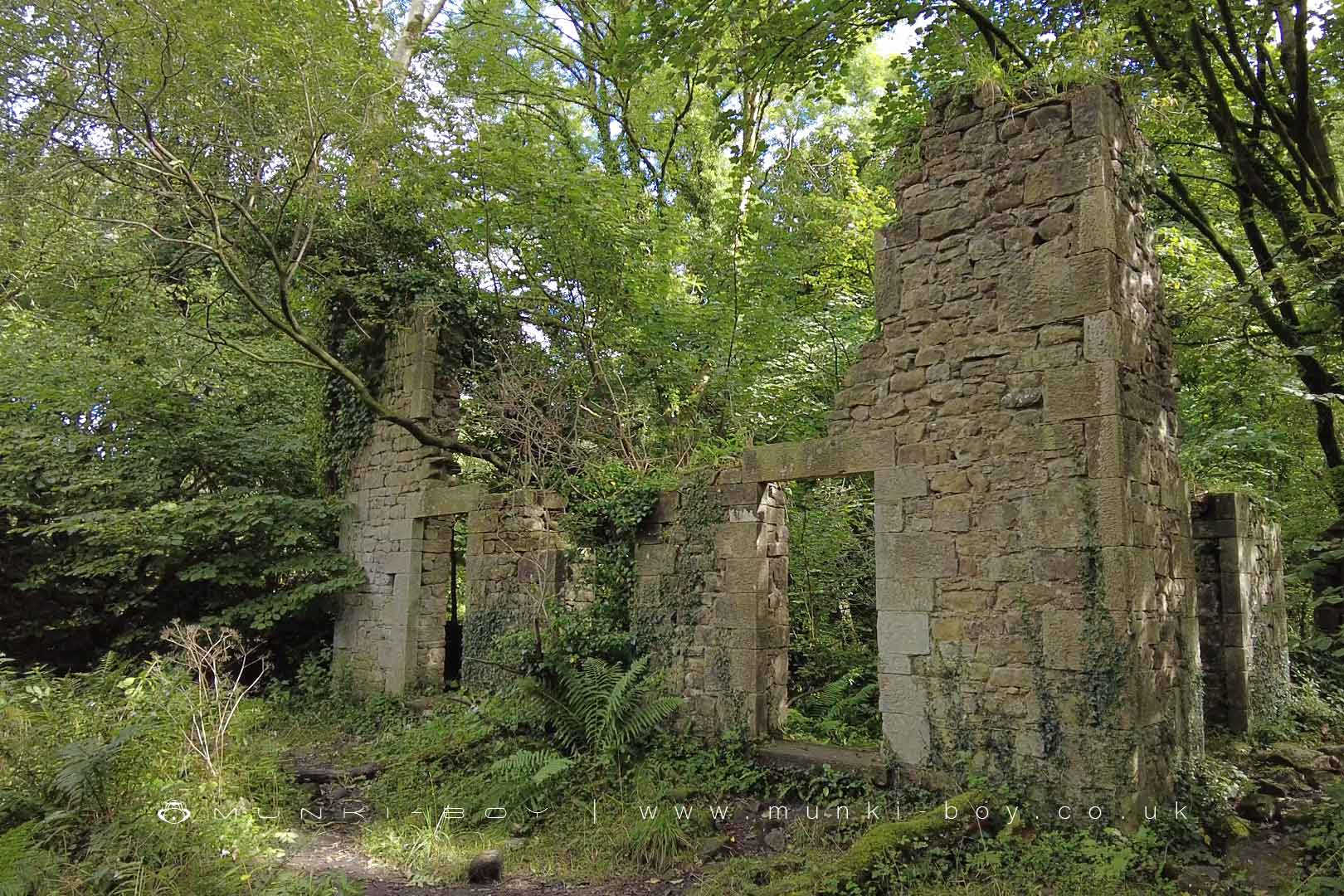
Brock Bottom Works (ruin) by munki-boy
Brock Bottom Works (ruin)
There are several ruins along the River Brock at Brock Bottom, mostly associated with the old mill that has had various uses over-the-years.
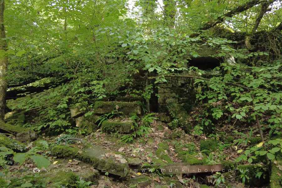
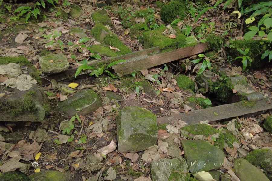
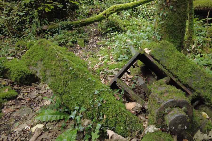
Originally the site of a cotton mill in the 18th Century and later a file works before its decline in the early 20th Century. There are good upstanding ruins of the main mill building with some walls upstanding and the collapsed frame of the waterwheel, rubble-filled waterwheel pit and the old, iron drive axel for the mill can still be seen.
There are other small building outlines nearby that must be associated with the mill.
The Cottage Ruins
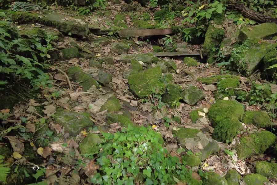
Just upstream from the mill ruins there is a partially excavated ruin of what appears to be a cottage or smallholding with various rooms outlined by the base of walls. There is also a small area of cobbled floor which may have been an outdoor area. The building is shown on the 1840s map but is absent from later.
Created: 19 May 2023 Edited: 29 November 2023
The Old Mill
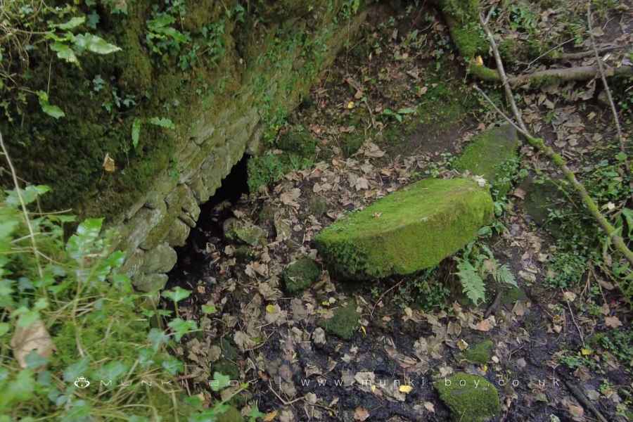
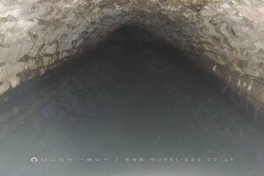
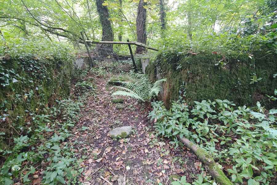
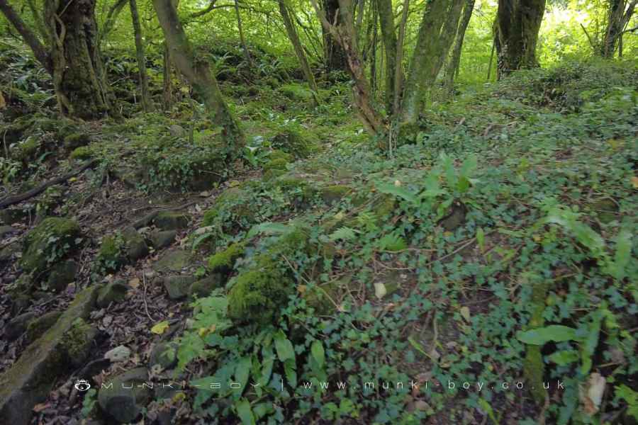
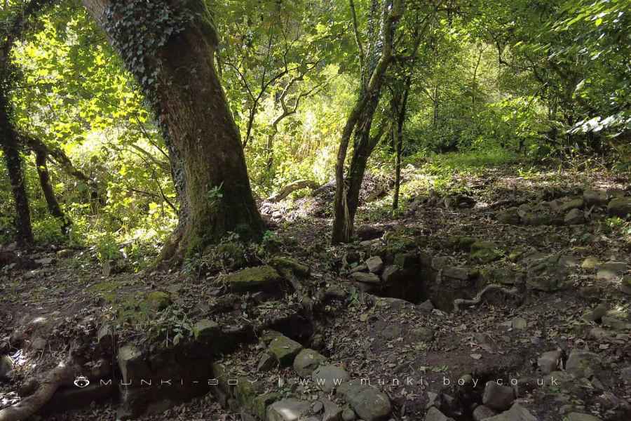
Brock Bottom Works (ruin)
Brock Bottom Works (ruin) LiDAR Map
Contains public sector information licensed under the Open Government Licence v3.0
Local History around Brock Bottom Works (ruin)
There are some historic monuments around including:
Greenhalgh Castle, cultivation terraces south east of the castle, and site of Greenhalgh manor houseChingle Hall moated siteBrooks Farm packhorse bridgeBleasdale Circle enclosed Bronze Age urnfieldClaughton hlaew in Sandhole Wood.


