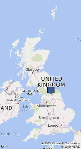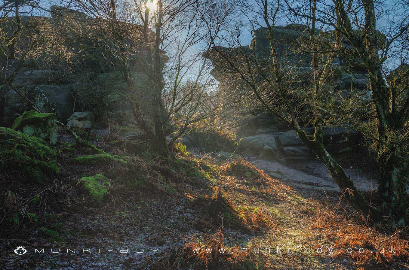
Brimham Rocks by munki-boy
Brimham Rocks
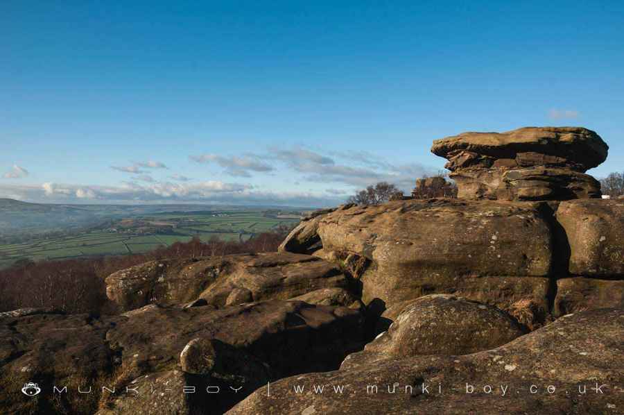
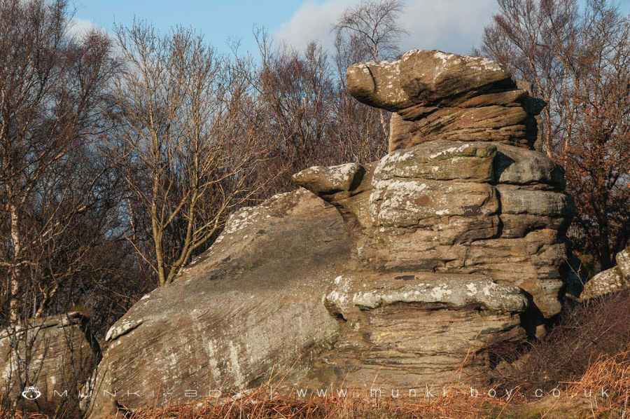
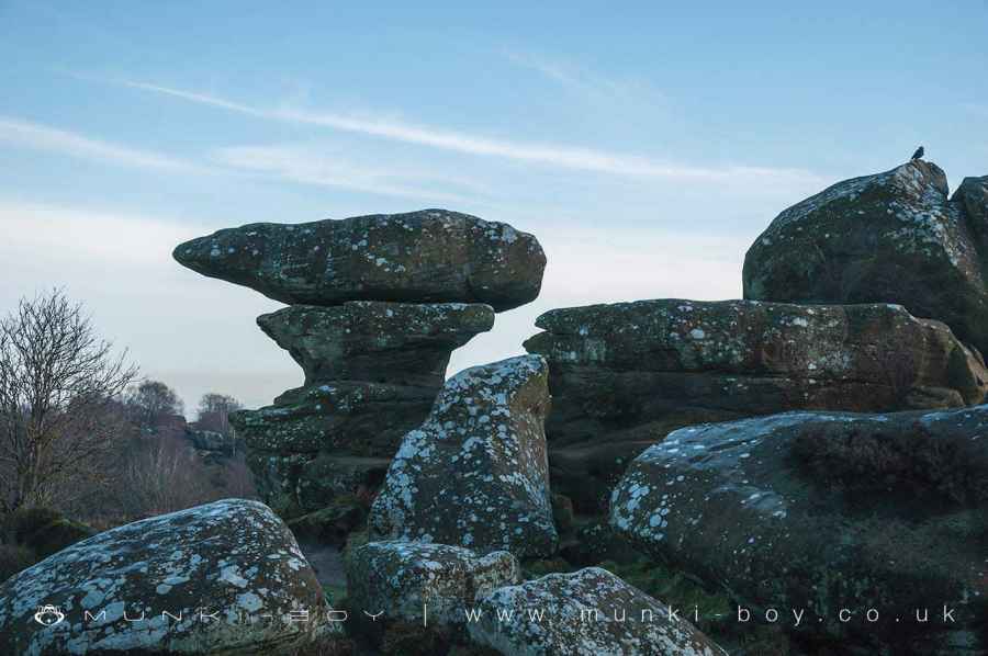
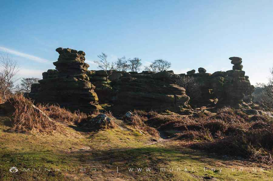
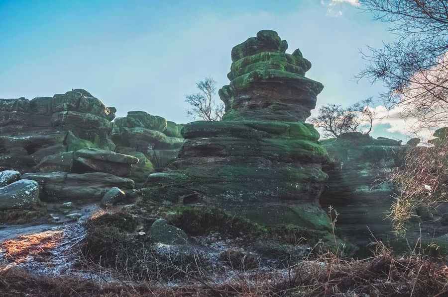
Brimham Rocks is an amazing natural landscape, formed over millions of years. The dramatic rocky outcrops left by this process have shaped the use and history of this place and fascinated people for more than 250 years.
The Rocks are made of Millstone Grit, created in a river delta 380 to 320 million years ago. This layer lifted up as the Pennines formed some 22 million years ago. Weathering then split the rocks along vertical joints and horizontal weaknesses. The last Ice Age, 10 to 18 thousand years ago, wore away softer rock and left the dramatic shapes you can see today. Erosion by wind, rain, frost, sun and people continues to this day.
For over 200 years, Brimham Rocks has inspired writers and artists, nurtured wildlife, enthused naturalists, and excited visitors. We hope you too will enjoy and be refreshed by this wonderful place.
Brimham Rocks is in Nidderdale AONB, a designated Area of Outstanding Natural Beauty.
Created: 3 December 2019 Edited: 29 November 2023
Brimham Rocks Details
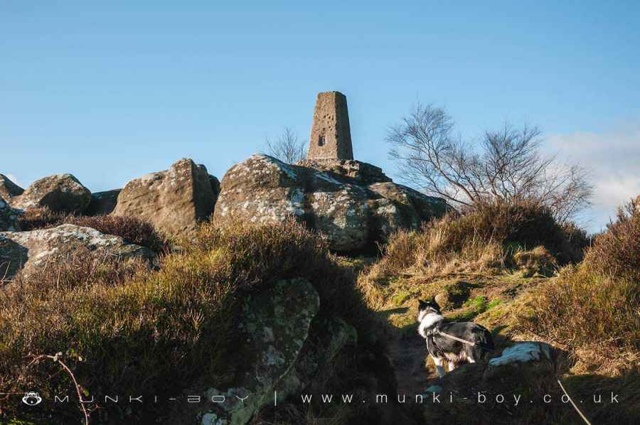
Brimham Rocks is a 301 metre high hill in North Yorkshire.
Brimham Rocks Information
Brimham Rocks Address
Summerbridge, Harrogate HG3 4DW, UK
HG3 4DW
Website: http://www.nationaltrust.org.uk/brimham-rocks/
Get directionsBrimham Rocks Woodland
Brimham Rocks is a 11.18 hectare, woodland area in North Yorkshire, managed by National Trust.Brimham Rocks LiDAR Map
Contains public sector information licensed under the Open Government Licence v3.0
Local History around Brimham Rocks
There are some historic monuments around including:
Rock with one cup mark 200m north of Low Hood Gap, HeyshawCup, ring and groove marked rock in wall 220m south of Far High WestcliffRock with at least three cup marks and a basin 100m south of Eastwood Farm, Dacre BanksThornthwaite packhorse bridge, 140m north east of Church HouseRuins of St Mary's ChurchNew BridgeCup and ring marked rock 16m north west of wall junction, 225m south of Far High WestcliffRock with complex carving south west of a wall junction, 265m SSW of Far High WestcliffRock with cup, ring and groove marks in the west side of Guisecliff Wood, 420m south east of Far High WestcliffCup, ring and groove marked rock known as the Fertility Stone in wall 110m north of Eastwoods Farm, Dacre BanksRock with three groove and three cup marks in base of wall east of track and 50m south of High Hood Gap, HeyshawBedrock with cup, ring and possible groove marks 45m south west of Eastwoods Farm, Dacre BanksCup, ring and groove marked rock 80m south west of Druid's Cave FarmButterton BridgeRock with complex pattern of cup, ring and groove marks in wall 250m south of Far High Westcliff.


