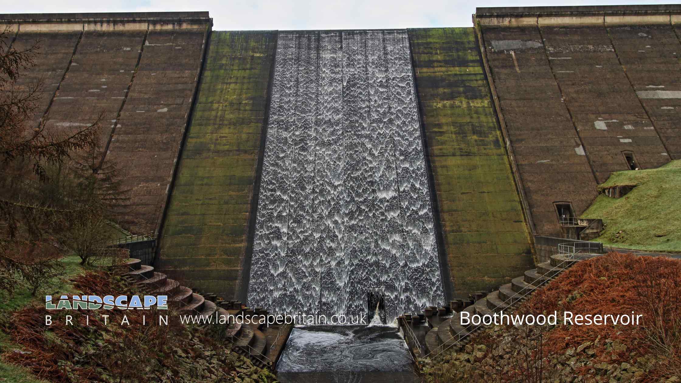
Boothwood Reservoir by EOSdude
Boothwood Reservoir
Boothwood Reservoir is a charming expanse of water situated in the heart of West Yorkshire, England. It serves not only as a vital source of water for the surrounding areas but also as a tranquil setting for both locals and tourists seeking a serene escape from the hustle and bustle of daily life. Its picturesque landscapes and verdant surroundings provide a haven for various species of wildlife, making it a popular spot for birdwatchers and nature enthusiasts alike.
The dam associated with Boothwood Reservoir is a testament to human ingenuity and engineering prowess. Constructed in the late 19th to early 20th centuries, the dam has stood the test of time and continues to effectively hold back the waters of the reservoir. Its design is based on the traditional gravity dam structure, utilizing the weight of the dam itself to resist the horizontal thrust of the water, ensuring the stability of the reservoir. Over the years, regular maintenance and periodic upgrades have ensured that the dam remains in top-notch condition, preventing any potential breaches and ensuring the safety of the surrounding communities. The dam, with its impressive structure, stands as a silent guardian to the waters of Boothwood, ensuring their containment while also serving as a reminder of the area’s rich history and engineering heritage.
Created: 23 August 2023 Edited: 29 November 2023
Booth Wood Reservoir Details
Booth Wood Reservoir is a small freshwater lake in West Yorkshire, situated at an altitude of around 256 meters and is very shallow.
The shoreline of Booth Wood Reservoir is approximately 5.025 Kilometers all the way round.
- Altitude: 256 m
- Shoreline: 5.025 Km
- Depth: very shallow
Boothwood Reservoir
Local History around Boothwood Reservoir
There are some historic monuments around including:
Bowl barrow known as Beacon HillRipponden (or Waterloo) BridgeCairnfield on Ringstone Edge Moor, 240m south west of Clay HouseWayside cross located on Slate Pit HillCastle Hill motte castle 270m north east of Rosemary HallOxygrains packhorse bridge, RishworthClose Gate BridgeRing cairn known as the Ring of Stones on Ringstone Edge Moor, 800m south of Upper Gosling RoydCastleshaw Roman forts, 250m west of Castle Shaw FarmMeg Dike late prehistoric enclosed settlement.


