Bonsor East Mine Workings by munki-boy
Bonsor East Mine Workings
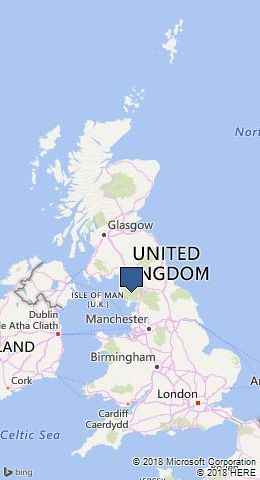
Bonsor East Mine Workings is in The Lake District National Park in England.
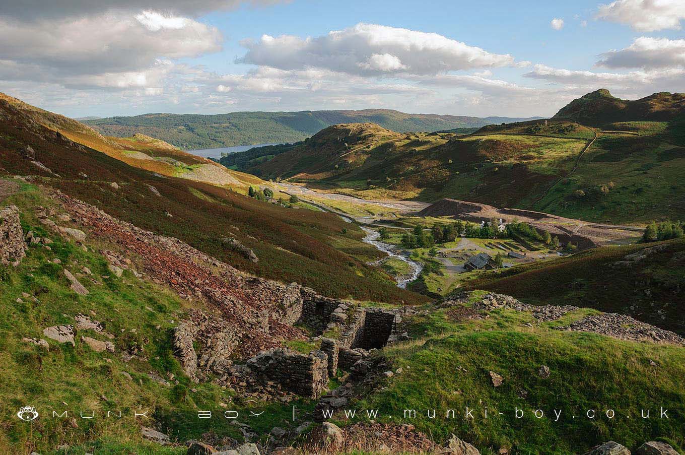
The old mine workings of Bonsor East are extensive both above and below ground. The visible remains date mostly from the 18th Century although there are also early 17th Century German workings. Below here near the beck in the valley below, Time Team found the remains of an old stamp press, an early wood and stone machine used for bashing ore bearing rock into smaller pieces. The first remains encountered when entering the Bonsor East area from the Red Dell track are the old wheel pits and engine house of the Bonsor East Shaft. Dating from the 18th Century the pits can be seen to have housed a large waterwheel powered by water from a man-made reservoir flowing into a leat which led to the wheel pit and which drained into the beck in the valley below.
The shaft itself was located underground in a now blocked tunnel that is said to be very dangerous to enter. The old surface workings of the 16th Century German miners once known as Low Works can be seen alongside the trough of the leat which led to the East Shaft waterwheel. The stone tower that is often seen high above the Coppermines Valley belongs to the engine house for the East Bonsor Old Shaft. Beside the remains of the tower is the old waterwheel pit that provided power for the engine. Above the ruins of the Old Engine buildings is the entrance to the Bob Plat Level which led to the Old Engine Shaft. Now fenced to prevent accidents, not far in is a 4 metre drop onto a ledge that once held a balance bob which driven by the waterwheel once pumped water out of the mine below. Just over the balance bob platform is a 425 metre deep mineshaft - hence the tunnel entrance being fenced today. There is an old slate level leading to a small closehead or underground quarry with the remains of an old stone hut and quite a lot of spoil dating from around 1910.
Created: 27 November 2016 Edited: 29 November 2023
Bonsor East Mine Workings
Bonsor East Mine Workings LiDAR Map
please wait...
Contains public sector information licensed under the Open Government Licence v3.0
Local History around Bonsor East Mine Workings
There are some historic monuments around including:
Moot mound at Fell Foot Farm, Little LangdaleYewdale lime kiln 380m south west of Low YewdaleMickleden Beck prehistoric cairnfield and field system, funerary cairn and a medieval dispersed settlement centred 840m south west of Pike of StickleThe Langdale Boulders, two prehistoric rock art sites in Great Langdale 250m south of Harry PlaceCairns and enclosure on The Rigg, BanisheadLong Intakes medieval dispersed settlement and associated kiln 370m south of Fell FootTwo rifle ranges on Silver HowConiston copper minesRoman road up Wrynose PassDike, circles and cairns on Bleaberry HawsCairns on Foul ScrowCastle Howe hillfort, Little LangdaleRifle Range target and Marker's Hut, 150m north west of Blea MossTwo bloomeries, 340m and 570m NNE of Hoathwaite Landing on Coniston WaterSeven Intakes medieval dispersed settlement 210m south west of Fell FootRoman road in Wrynose BottomGreenburn copper mines and associated ore processing worksCairnfield 210m south west of Throng Moss Reservoir.


