Arichonan Ruins by munki-boy
Arichonan Ruins
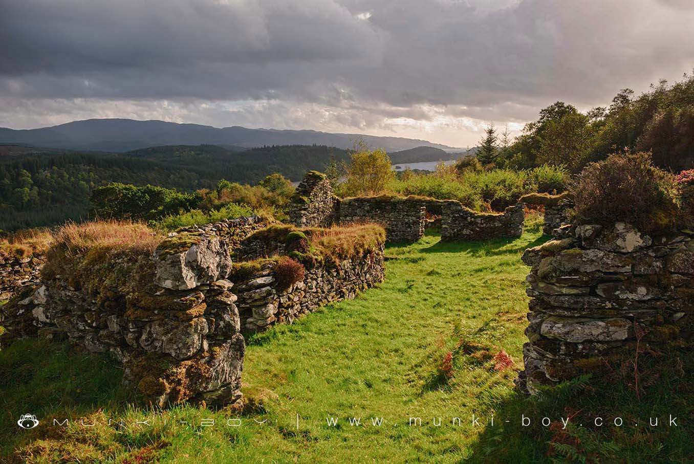
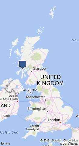
The ruins of Arichonan stand on the slopes of Gleann a Ghaolbhan, in the Knapdale Forest.
In the 19th century sheep were to become more profitable than the tenants of Arichonan. Landlord Neil Malcolm terminated the leases of the tenants of the Arichonan Township in September 1848, but his tenants refused to leave. They did not want to lose their homes and livelihood and decided to fight.
Four tenants were arrested for resisting eviction. They were found guilty and imprisoned in Inverary Jail.
Today you can explore the ruins of the homes of people who lived there over 150 years ago.
The name Arichonan is known to date back as early as the 1600s.
Created: 27 November 2016 Edited: 29 November 2023
Arichonan Ruins
Arichonan Ruins LiDAR Map
Contains public sector information licensed under the Open Government Licence v3.0
Local History around Arichonan Ruins
There are some historic monuments around including:
Loch Coille-Bharr, crannog, Knapdale Prehistoric domestic and defensive: crannog SM10131Arichonan,township Secular: bridge SM5797Poltalloch,cup & ring marked rock SW of Prehistoric ritual and funerary: cupmarks or cup-and-ring marks and similar rock art SM223Ardifuir,dun 2400m W of Poltalloch Prehistoric domestic and defensive: dun SM234Lady's Seat,cairn 420m WNW of Ballygowan Prehistoric ritual and funerary: cairn (type uncertain) SM211Kilchoan Lodge,chambered cairn Prehistoric ritual and funerary: chambered cairn SM220Barnluasgan, enclosures 1200m NNE of Prehistoric domestic and defensive: enclosure (domestic or defensive) SM3860Crinan Harbour, pyroligneous acid works Industrial: chemical SM5814Kilmory Oib Township, cross slab and holy well, W of Loch Coille-Bharr Crosses and carved stones: cross slab; Ecclesiastical: well; Secular: settlement, including deserted, depopulated and townships SM270Ballygowan,prehistoric rock carvings 100m N of Prehistoric ritual and funerary: cupmarks or cup-and-ring marks and similar rock art SM90025Crinan Canal,Crinan to Cairnbaan Industrial: inland water SM6500Achnamara, clapper bridge, Knapdale Industrial: road or trackway SM10341Barnluasgan, enclosure 950m NNE of Prehistoric domestic and defensive: homestead SM7265Achadh na Cille, burial ground 450m NW of Rubha nan Sgarbh Crosses and carved stones: cross-incised stone; Ecclesiastical: burial ground, cemetery, graveyard SM10334Loch Coille-Bharr, mill and lade, Knapdale Industrial: farming, food production SM10335Duntroon, fort 140m N of Duntroon Lodge Prehistoric domestic and defensive: fort (includes hill and promontory fort) SM240Barsloisnach, two cists 230m ESE of Prehistoric ritual and funerary: cist SM181Gartnagreanoch, chambered cairn, Knapdale Prehistoric ritual and funerary: chambered cairn SM10342Dun, enclosure and cairn, 200m W of Barnluasgan Prehistoric domestic and defensive: dun; Prehistoric ritual and funerary: cairn (type uncertain) SM10337Poltalloch, three cists 320m S of Cnoc-an-teallaidh Prehistoric ritual and funerary: cist SM225Poltalloch,standing stone 500m WSW of East Lodge Prehistoric ritual and funerary: standing stone SM224Poltalloch,cup & ring marked rock 225m N of Prehistoric ritual and funerary: cupmarks or cup-and-ring marks and similar rock art SM222Rubha Cladh Eoin, fort, Knapdale Prehistoric domestic and defensive: fort (includes hill and promontory fort) SM10343Crinan Moss,cist,Barsloisnoch Prehistoric ritual and funerary: cupmarks or cup-and-ring marks and similar rock art SM195Castle Dounie, dun, Knapdale Prehistoric domestic and defensive: dun SM10091Loch Coille-Bharr, enclosure 220m NW of, Knapdale Prehistoric domestic and defensive: enclosure (domestic or defensive) SM10336Barr a Chuirn,fort 430m ENE of Prehistoric domestic and defensive: fort (includes hill and promontory fort) SM3360Druim an Duin,dun Prehistoric domestic and defensive: dun SM2420Barnluasgan, enclosure 530m NNE of Prehistoric domestic and defensive: homestead SM3861.


