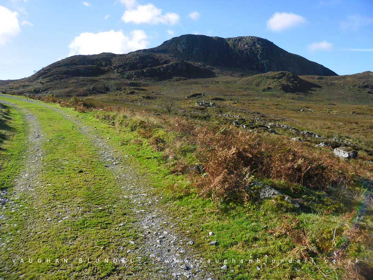
Arenig Fawr by Vaughan Blundell
Arenig Fawr
Arenig Fawr is in Snowdonia National Park in Wales.
A B-17 bomber crashed on Arenig Fawr 4th August 1943 on a training flight.
Created: 16 February 2019 Edited: 29 November 2023
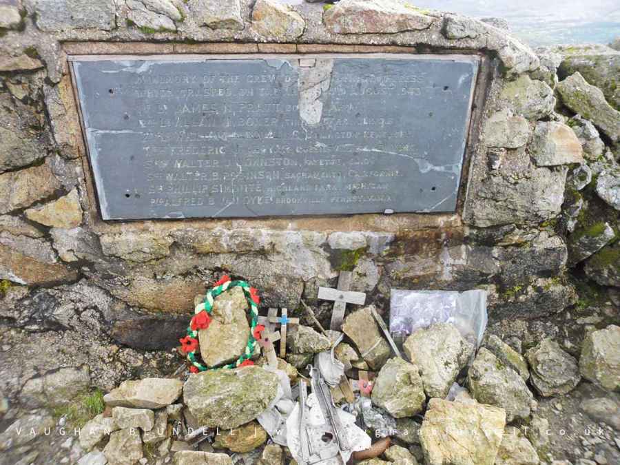
B-17 Air Crash Memorial on Arenig Fawr
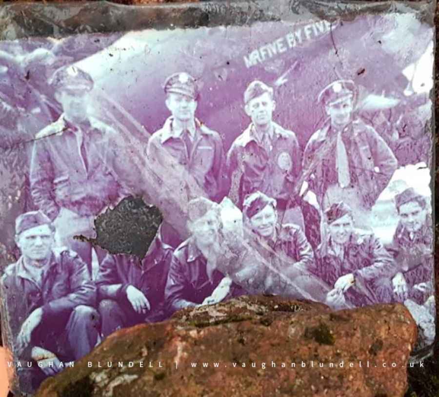
Photo of B-17 Air Crash Crew on Arenig Fawr (not the crashed plane)
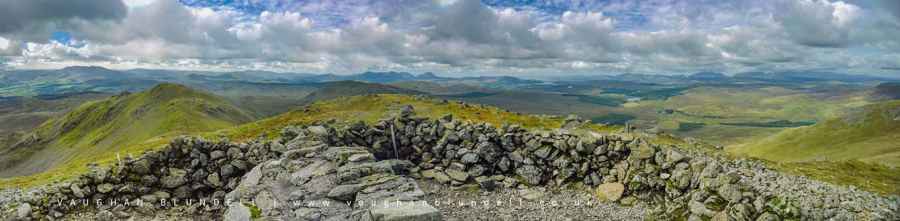
Arenig Fawr Summit Panorama
Arenig Fawr Details
Arenig Fawr is a 854 metre high mountain in Gwynedd.
Arenig Fawr
Arenig Fawr LiDAR Map
Loading LiDAR
please wait...
please wait...
Contains public sector information licensed under the Open Government Licence v3.0
Local History around Arenig Fawr
There are some historic monuments around including:
Carnedd y Filiast Cairn Bancian Duon Hut Circle Settlement and Deserted Rural SettlementPont Tai-Hirion Old Bridge Hut group SSW of Cefngarw, Ysbyty Castell Carn Dochan Cairn 300m SE of Bryn Cau Arenig Fawr Cairn Cairn 200m SE of Foel Ystrodur Fawr Llechwedd Erwent Hut Circle Settlement Garnedd Wen Cairn .


