

Alderley Edge by munki-boy
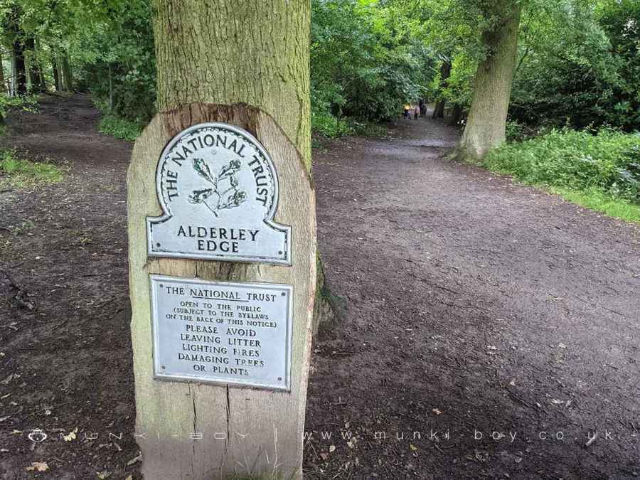
Alderley Edge National Trust
The National Trust Alderley Edge is a beautiful place to visit, with plenty to do and see.
If you’re looking for something adventurous, then the copper mining history might be of interest. The National Trust Alderley Edge was once home to several mines that extracted copper ore from 1790 until the end of the 19th century.
Visitors can take in some fascinating exhibits at the Mining Museum before taking on one of two walks round Alderley Edge!
Created: 25 August 2021 Edited: 29 November 2023
Alderley Edge and Cheshire Countryside Information
Alderley Edge and Cheshire Countryside Address
Nether Alderley SK10 4UB, UK
SK10 4UB
Website: http://www.nationaltrust.org.uk/alderley-edge/
Get directionsAlderley Edge National Trust LiDAR Map
please wait...
Contains public sector information licensed under the Open Government Licence v3.0
Local History around Alderley Edge National Trust
There are some historic monuments around including:
Bowl barrow 200m north-east of Capesthorne HallBowl barrow 450m south-east of Capesthorne HallWood Mine cobalt works and associated mines, 340m east of White Barn FarmCross at Nether Alderley on the crossroads of Welsh Row and Congleton RoadCross shaft in the churchyard of St Peter's ChurchStanding cross on Prestbury Road, 150m south east of Lane End crossroadsStanding cross base near the junction of Church Lane and Woodhouse Lane, 600m NNW of New Hall FarmThe Armada Beacon, Alderley EdgeChorley Old Hall moated site and four fishpondsThe Great Merestone medieval boundary marker on Finlow Hill, 245m east of Mottram HouseEngine Vein opencast copper mine, 150m north of Warden's CottageBowl barrow 230m west-south-west of Birtles HallEarthwork remains of a medieval hall, chapel and settlement, 290m south east of Capesthorne HallMedieval boundary marker at Saddlebole, 180m west of Findlow FarmBowl barrow 370m east-south-east of Bearhurst FarmChurchyard cross at St Mary's ChurchThe Golden Stone boundary marker, 250m north west of Edge House FarmFoxtwist moated site, two fishponds and connecting channels.


