Aira Force Waterfall by munki-boy
Aira Force
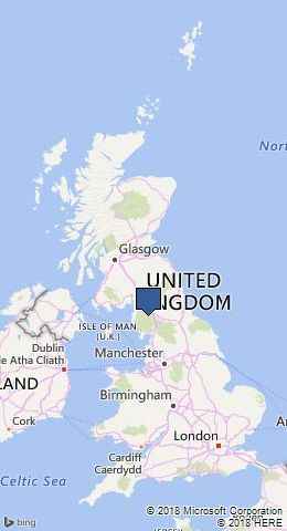
Aira Force is in The Lake District National Park in England.
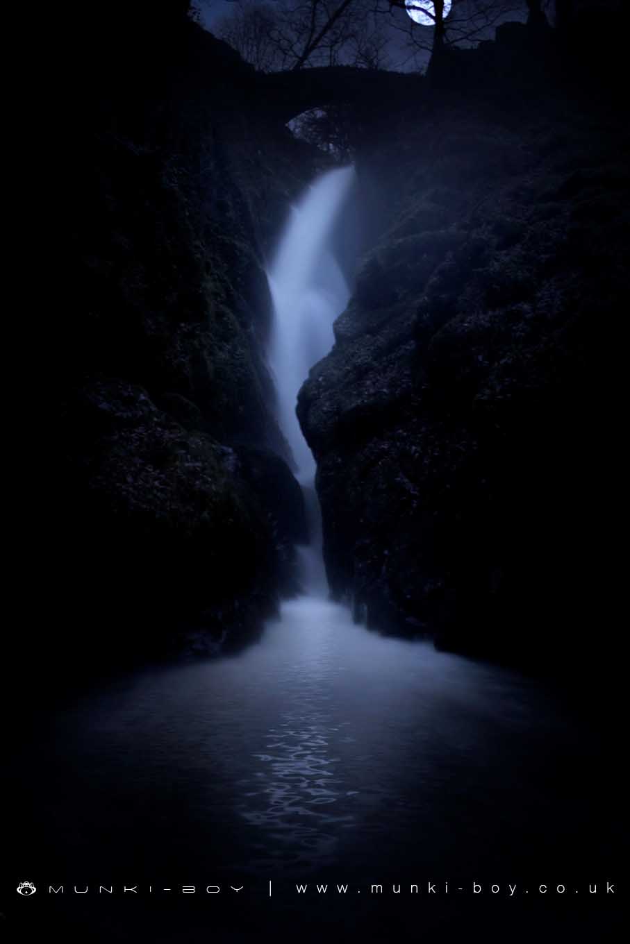
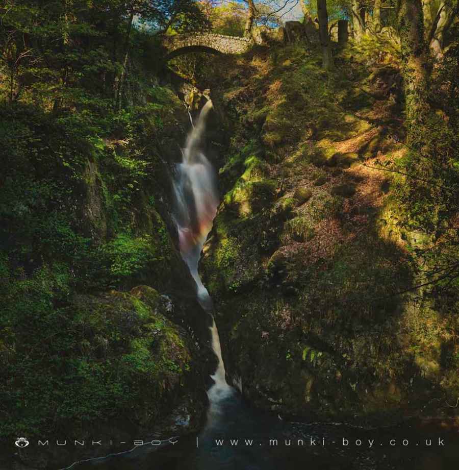
A popular tourist attraction, Aira Force is a great waterfall. The Aira Beck descends various falls and deep rocky troughs before reaching the main fall, Aira Force.
The Aira Force site is managed by the National Trust and a sizeable carpark is available together with a well-kept trail up to the waterfalls through the surrounding woodland. Aira Force itself has paths to the splash pool below the fall where there is a concrete viewing platform that is a magnet for photographers; though you can be drenched with spray from the fall on blustery days. There is also a track around and up to the top of the waterfall, where a small, arched bridge crosses the beck and the waterfall can be viewed from above. The upper falls and rock gorges are very interesting and viewing is done from above as the track is supported by wooden platforms.
A relatively easy visit from the car park but, Aira Force is incredibly popular and can be quite busy in season.
Aira Force name comes from “Fors”, a Viking word for “Waterfall”.
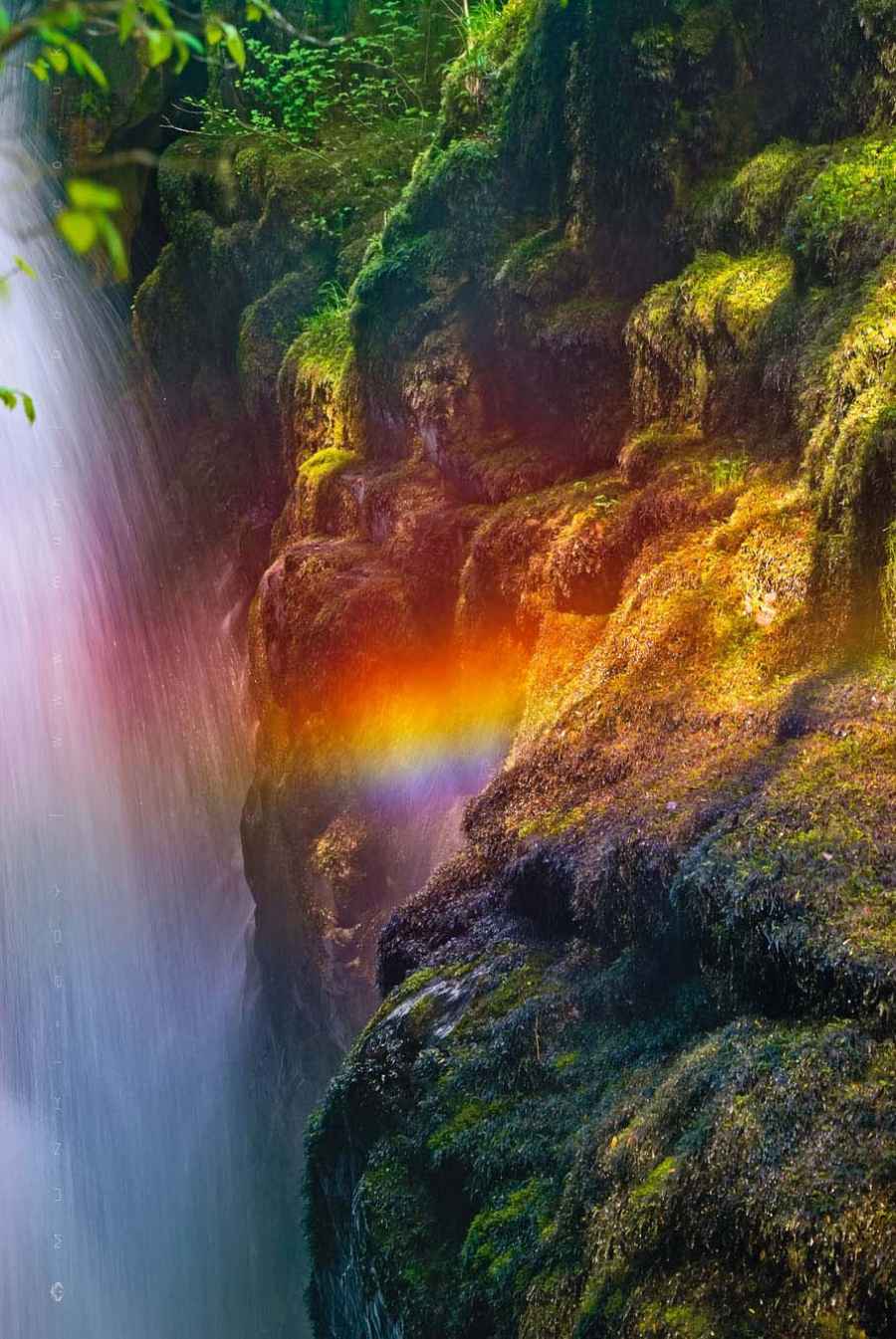
Due to the position of Aira Force and steep, rocky basin into which it falls, the angle of the sun often causes a rainbow or spectrum of colours to be seen in the waterfall from the viewing platform.
The Glade
The parkland surrounding the lower section of Aira Beck was originally the “back garden” to Lyulph’s Tower, the Duke of Norfolk’s hunting lodge dating to the 1780s.
The Glade was designed and landscaped to lead you through a series of dramatic views along Aira Beck, before reaching Aira Force.
The landscaping continued in the 1840s, when 200 specimen conifers were planted to create a Pinetum.
Finding Aira Force
Paths through The Glade to Aira Force are cirular so you can pick your own route.
The traditional route goes clockwise - Take the footpath to the left and explore the Pinetum, then choose to cross the river at either the lower or upper bridge and return down the eastern bank.
Most of the path is a medium incline, with some steep sections. Steps can get slippery after rain so strong shoes are suggested.
Created: 27 November 2016 Edited: 29 November 2023


Aira Force
Aira Force LiDAR Map
please wait...
Contains public sector information licensed under the Open Government Licence v3.0
Local History around Aira Force
There are some historic monuments around including:
Roman camp and section of Roman road 700m south east of Field Head FarmPrehistoric rock art in Patterdale 40m north west of BeckstonesMyers Head lead minePrehistoric rock art in Patterdale 270m north west of CrookabeckGreenside lead mines, ore works and smelt millTroutbeck Roman fort and annexeRoman camp south of Field Head FarmBowl barrow on Great Mell FellRomano-British enclosed stone hut circle settlement at Heck Beck, BannerdaleRoman camp and section of Roman road on Lofshaw HillHutton John moated site, moated annexe, possible fishpond and enclosurePrehistoric rock art at Place Fell Cottage, 370m north east of Goldrill BridgeTop Power House electric power generation station and associated leat for Greenside lead mine centred 740m NNW of Hole-in-the-WallBowl barrow on summit of Little Mell FellPrehistoric rock art at Green Rigg, 310m north east of Goldrill bridge.


