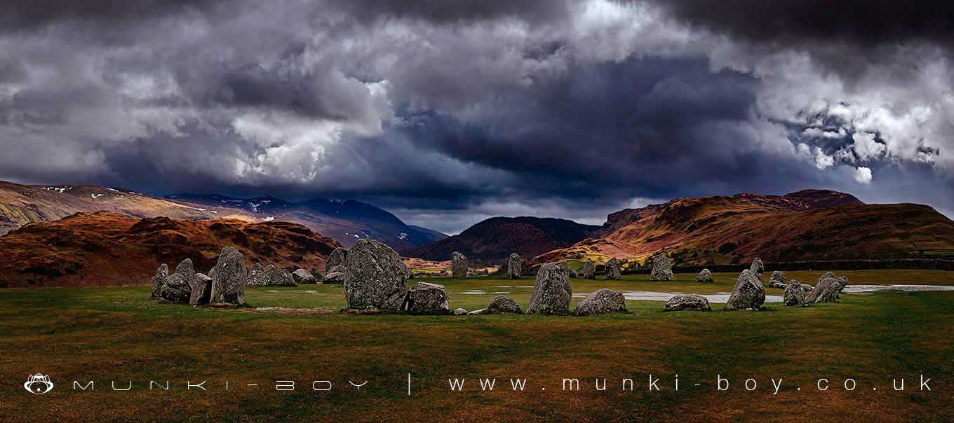
Castlerigg Stone Circle by munki-boy
Castlerigg Stone Circle
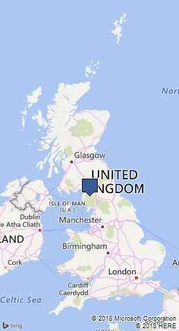
Castlerigg Stone Circle is in The Lake District National Park in England.
Castlerigg stone circle is located on a plateau of the north-easterly projecting spur of Castlerigg Fell and is divided into two separate areas. The monument includes an oval enclosure of stones which contains a smaller enclosure and two barrows, and an outlying stone. The oval enclosure includes 38 large stones, some standing up to 3m high and some fallen, and 3 smaller stones; it encloses an area measuring approximately 32m north-south by 29m east-west. There is an entrance between the two tallest stones on the northern side. Within the eastern side of the circle, abutting the internal face of three stones forming part of the circle, is a rectangular structure of 10 stones measuring c.7.6m by 3.6m internally. Within the south western side of the circle is a low bank up to 0.1m high which runs in an arc adjacent to the stones for a distance of about 8m. In the north-eastern and north-western quadrants of the circle are two barrows, both approximately 3.5m diameter by 0.05m high and each surrounded by a shallow ditch 0.6m wide by 0.05m deep. An earthen bank up to 7m wide and 0.3m high flanks the northern side of the circle. 70m west-south-west of the circle, and in a separate area, is a stone outlier located adjacent to the field boundary. Limited antiquarian investigation of the rectangular structure within the circle found charcoal, black soil mixed with stone, and a ‘dark, unctuous sort of earth’ near the bottom of the excavation. The stone circle was taken into State care in 1883. Castlerigg stone circle remains unencumbered by modern development and is one of the finest examples of a large irregular stone circle in England. Extract from Record of Scheduled Monuments
Created: 27 November 2016 Edited: 29 November 2023
Castlerigg Stone Circle
Castlerigg Stone Circle LiDAR Map
please wait...
Contains public sector information licensed under the Open Government Licence v3.0
Local History around Castlerigg Stone Circle
There are some historic monuments around including:
Slight univallate hillfort on Castle CragTwo medieval shielings 240m north west of Clough FoldTwo medieval shielings 60m north of Clough FoldShoulthwaite Gill hillfort, ThirlmereTwo medieval shielings 25m north of Clough FoldCastlerigg stone circle and two bowl barrowsBowl barrow on Brund FellMedieval shieling 160m north west of Clough FoldPrehistoric stone hut circle settlement, irregular aggregate field system,five enclosures,a well,a cairnfield and trackways on St John's and Threlkeld CommonsTwo medieval shielings 210m north west of Clough FoldMedieval shieling 300m north of Clough FoldReecastle Crag hillfort.


