Winter Hill Summit by munki-boy
Winter Hill Summit
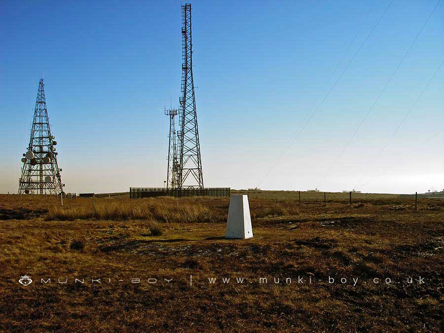
The summit of Winter Hill marked by an OS trig, the height was measured at 456 metres above mean sea level here and it’s the place to reach if you want to bag the hill.
A tarmac path leads almost all the way up but the peat area around the pillar is usually very boggy.
Note the concrete “boxes” along the tarmac path nearby that mark the points of old entrances to the coal mines that were only partially sealed to allow access for bats living within.
Created: 27 November 2016 Edited: 29 November 2023
Winter Hill Summit
Winter Hill Summit LiDAR Map

Contains public sector information licensed under the Open Government Licence v3.0
Local History around Winter Hill Summit
There are some historic monuments around including:
Pike Stones chambered long cairnRound cairn on Noon HillRound cairn on Winter HillSteam tramway reversing triangleRound Loaf bowl barrow on Anglezarke MoorHeadless Cross, GrimefordRound cairn 280m west of Old Harpers Farm.


