White Brow Cairn by munki-boy
White Brow Cairn
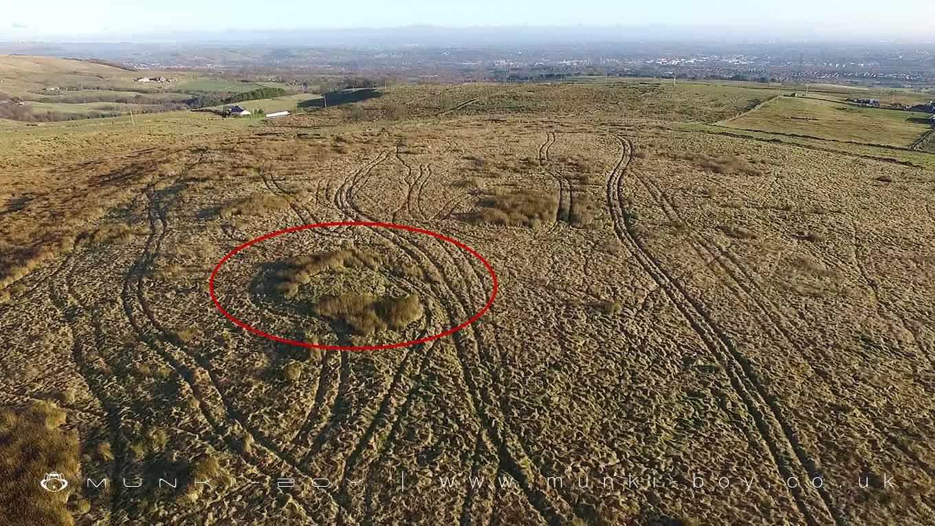
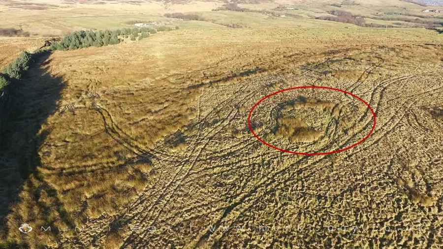
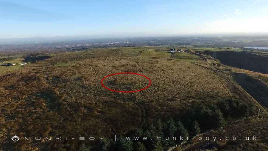
The monument includes a round cairn located on a local high point 280m west of Old Harpers Farm. It includes a slightly oval mound of turf covered stones up to 0.4m high with maximum dimensions of 12m by 11.5m.
Despite minor disturbance to the monument’s surface, the round cairn 280m west of Old Harpers Farm survives reasonably well. It is an unexcavated example of this class of monument and will therefore retain undisturbed archaeological deposits within the mound and upon the old landsurface beneath.
Created: 27 November 2016 Edited: 29 November 2023
White Brow Cairn
White Brow Cairn LiDAR Map

Contains public sector information licensed under the Open Government Licence v3.0
Local History around White Brow Cairn
There are some historic monuments around including:
Gidlow Hall moated site, Aspull, 560m NNE of Pennington HallRound cairn on Noon HillRound cairn on Winter HillHeadless Cross, GrimefordPike Stones chambered long cairnRound cairn 280m west of Old Harpers FarmRound Loaf bowl barrow on Anglezarke Moor.


