Standing Stones Hill by munki-boy
Standing Stones Hill
Standing Stones Hill in the Anglezarke area is a bit of a mystery, given its absence of standing stones or viable historic reference to ever having standing stones at all. The name and its presence on the old and modern OS maps is a mystery and has led many to a fruitless hike in hope of tangible prehistoric stonework. However, it is hard to imagine how the hill could warrant such a name other than it once being the host to some standing stones or perhaps a stone circle. Standing Stones Hill is also comfortably close to the major Rushy Brow prehistoric sites including Round Loaf, the Pikestones Chambered Long Cairn and the Rushy Brow prehistoric occupation site nearby to allow us some speculation as to the origin of its enigmatic name.
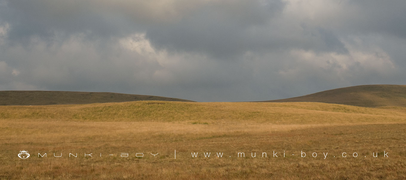
Standing Stones Hill is located high above Anglezarke and Lead Mines Clough and is not on any easily useable footpath. Wild, open and desolate in bad weather, boggy in places during the drier months this is really only appealing to the insatiably curious or those of us who see footpaths as an occasional treat when they happen to go our way. Prepare for ankle bruising moorland grass hopping, with the not infrequently misplaced foot deep in stinking bog water. Deciding which part of the undulating ground you are going to class as the hill itself is maybe a job for GPS. There really isn’t anything to note on top of Standing Stones Hill (unless of course you find something…) so if you like your walks to have a proper goal you are likely to be disappointed and you may wish to visit as part of a tour of other local sites. Be warned stumbling around in the moorland grass off the proper footpaths can be time consuming and exhausting, its a long way back to the roads or parking places. That said, fair weather or foul the views from the Standing Stones Hill area can be amazing and towards the end of summer the moorland grasses turn a golden brown and cover most of the area in a waist high sea.
Given the lack of documented evidence on Standing Stones Hill, aside from brief appearances in relatively recent texts we are left to examine the hill itself and its surrounding landscape. On the old OS map, Standing Stones Hill Spring is marked where the modern map will be found to show ‘W’ for well. Many noted springs have evidence of standing stones or other prehistoric markers close by. The presence of a proper name for the spring on the old OS map may indicate more importance being attached to this site as recently as 150-200 years ago. In fact sometime in the later half of the 19th Century ‘shooting huts’ are marked on the OS maps and it is at this time that the Standing Stones Hill Spring seems to have been converted to a well, perhaps to service the shooting huts. It may also be that any standing stones nearby could have been used in the construction of the huts, or removed from around the former spring.
Another area of interest is the rock outcrops found below Standing Stones Hill towards Holts Flat that seem to naturally erode into large rectangular slabs. Perhaps due to its fairly remote location this outcrop seems to have avoided any earnest attempt at quarrying in recent times and appears fairly natural today. On the old OS map this area is marked large with the word ‘stones’. Perhaps it is too outlandish to suggest that these stones were used by ancient builders and that the name Standing Stones Hill refers to the place standing stones were quarried. It is noted that several nearby areas have been listed as ‘lithic working sites’ and although these sites are undetectable to the untrained eye, if the evidence of the archaeologists is to be believed, stone was procured and worked locally in antiquity. The Standing Stones Hill Spring stream can be seen crossing the field on the left, leading down towards the sandstone outcrops toward the pine plantation.
Created: 27 November 2016 Edited: 29 November 2023
Standing Stones Hill Details
Standing Stones Hill is a 325 metre high hill in Lancashire.
Standing Stones Hill
Standing Stones Hill LiDAR Map

Contains public sector information licensed under the Open Government Licence v3.0
Local History around Standing Stones Hill
There are some historic monuments around including:
Pike Stones chambered long cairnRound cairn on Winter HillRound cairn 280m west of Old Harpers FarmHeadless Cross, GrimefordRound cairn on Noon HillRound Loaf bowl barrow on Anglezarke Moor.


