Malham Cove by munki-boy
Malham Cove
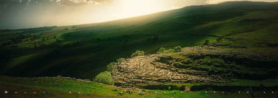
Malham Cove is in The Yorkshire Dales National Park in England.
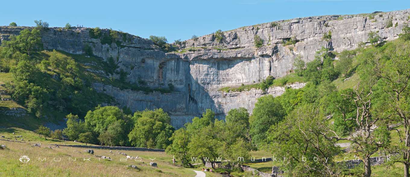
Malham Cove is a huge curving amphitheatre shaped cliff formation of limestone rock, just north of the village of Malham, in North Yorkshire.
Malham Cove was formed by a waterfall carrying meltwater from glaciers at the end of the last Ice Age, more than 12,000 years ago. The water drop was 80 m (260 ft) high and more than 300 m (980 ft) wide. The colossal amount of water flowing over the waterfall created the curved shape of the cove as the lip is more heavily eroded than the sides. Today it is a well-known beauty spot within the Yorkshire Dales National Park. A large area of deeply eroded limestone pavement, of a strange pattern rarely seen in England, is above Malham Cove.
There is complex system of caves and tunnels within the limestone cliff. The cave system is estimated to be about 50,000 years old.
The cave systems usually carry away any waters before they reach the drop but after heavy rainfall from Storm Desmond, on 6 December 2015, Malham Cove temporarily became a waterfall for what is believed to be the first time in centuries.
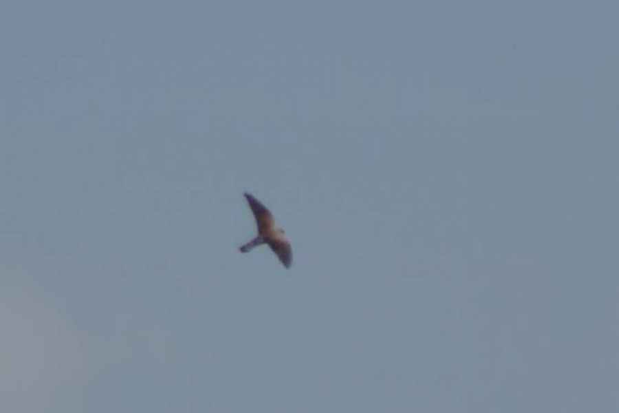
Malham Cove also protects a pair of nesting peregrine falcons which can be viewed during the summer months.
Created: 27 November 2016 Edited: 29 November 2023
Malham Tarn Estate Information
Malham Tarn Estate Address
Yorkshire Dales Estate Office, Pennine Way, Settle BD24 9PT, UK
BD24 9PT
Website: https://www.nationaltrust.org.uk/malham-tarn-estate
Get directionsLocal History around Malham Cove
There are some historic monuments around including:
Settlement 500ft (150m) NW of Ing Scar CragBoundary dyke W of Capon HallRing cairn north west of Ewe MoorTwo rectangular house sites on Malham LingsFarmhouse sites on Highfolds ScarSettlement on Cow Bank 1/4 mile (400m) NW of DarnbrookMedieval monastic wayside cross basePikedaw Hill southern cairnLynchets N of Malham villageNucleated coal mine and coke oven on Fountains FellRound barrow north of Moor Syke, Crane FieldCairn on Blue Scar 460m NW of Springs CaveSettlement on Prior RakesSettlement on Blue ScarCrane Field round barrowSheriff Hill round cairnLower Colgarth Hill round cairnSettlement 1/3 mile (540m) NW of Langscar GateSettlement 1250yds (1140m) NE of Malham Tarn HouseRound barrow 400m south west of Crane Field LaitheEnclosed prehistoric settlement east of Malham CoveRound cairn south east of Broad FlatsField system S of Malham CoveHut circles, enclosures and fields N of Shorkley HillSettlement at Dew BottomsHut circle on Comb ScarEnclosure E of Malham LingsSettlement N of Stridebut EdgeMedieval monastic wayside cross baseRound cairn on Broad FlatsMedieval monastic wayside cross base, Water Sinks GateSettlement on Ing ScarRound barrow 550m south west of Park HillLime kiln and associated quarry 75m south of High Scarth BarnFarm sites and field systems on Malham LingsEnclosure and hut circles on Prior RakesPillow mounds east of Friars Head, known as Giants' GravesMedieval settlements and lynchets extending NW from Town HeadCairn 80m north of Pikedaw HillSeaty Hill round cairnSettlement sites on Jorden ScarCairn on Great Close HillCup marked rock in wall east of Scarnber Wood, 500m north east of Bark Laithe, WinterburnRoman temporary camp and medieval monastic cross base, Mastiles Lane..