Lead Mines Clough by munki-boy
Lead Mines Clough
Lead Mines Clough
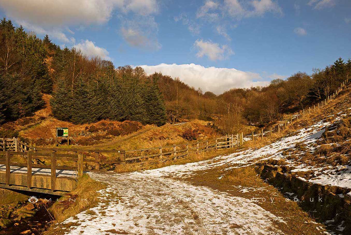
Lead Mines Clough is located around a mineral vein that has infilled along a geological fault line. The area was mined extensively in the past and there are obvious bell pits on the higher ground and an excellent example of later mine workings that was restored by volunteers.
The brook flowing through the area has several waterfalls and has exposed quite large areas of rock bedding that gives the area a different look to its surroundings, that is carried further by the pine tree plantations that are still in place. Many such plantations having been removed and re-planted with native trees.
Lead Mines Clough is also where several important paths meet on many walking routes.
There are several ruins along the Limestone Brook as it passes through Lead Mines Clough, notably those associated with the former lead mining industry. An area of the former lead mining area associated with puming out the mines was restored and is still signposted and easily viewable from beside the track on the west bank of the brook.
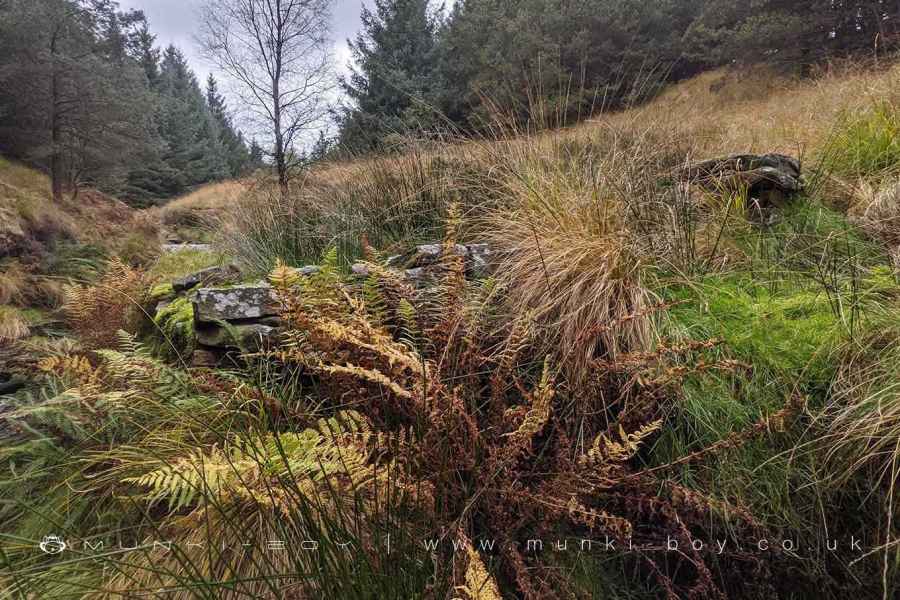
There is also an old ‘sheep pen’, that is shown on the 1850s map, abutting the east bank of the brook and quite rectangular in shape with the remaining walls seemingly of sturdier construction than the boundary walls nearby. The interior of the walls is now filled with swampy ground.
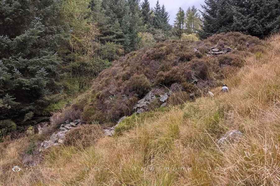
Further upstream there is a sizeable mound of much loose rock - now covered with heather - shown as an unnamed, rectangular building on the 1929 map. Close-by the brook is shown culverted for a short distance and a tributary has evidence of management. Strangely, there are no paths or tracks shown leading to the area. Further upstream is a small weir and ‘valve’ shown on the 1892 map which is now on the main track round the top of the Lead Mines Clough area.
Created: 27 November 2016 Edited: 29 November 2023
Lead Mines Clough


Lead Mines Clough LiDAR Map

Contains public sector information licensed under the Open Government Licence v3.0
Local History around Lead Mines Clough
There are some historic monuments around including:
Moated site at Arley Hall, Haigh near WiganRound cairn 280m west of Old Harpers FarmPike Stones chambered long cairnRound Loaf bowl barrow on Anglezarke MoorBretters Farm moated site and two fishpondsRound cairn on Noon HillThe Moat House moated site 600m WNW of St David's ChurchHeadless Cross, GrimefordRound cairn on Winter Hill.