Lammerside Castle by munki-boy
Lammerside Castle
Lammerside Castle is in The Yorkshire Dales National Park in England.
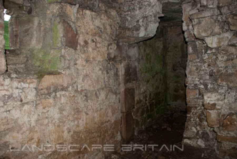
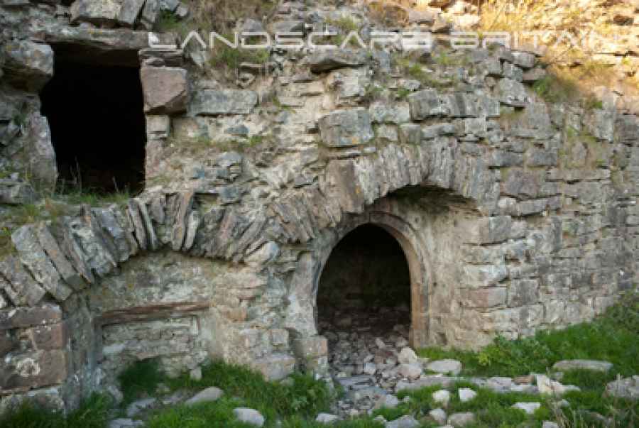
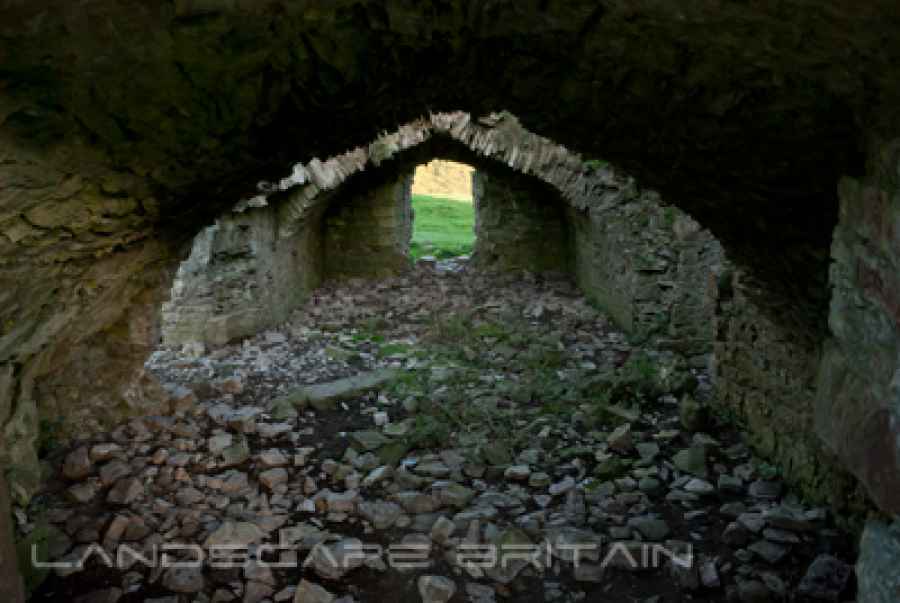
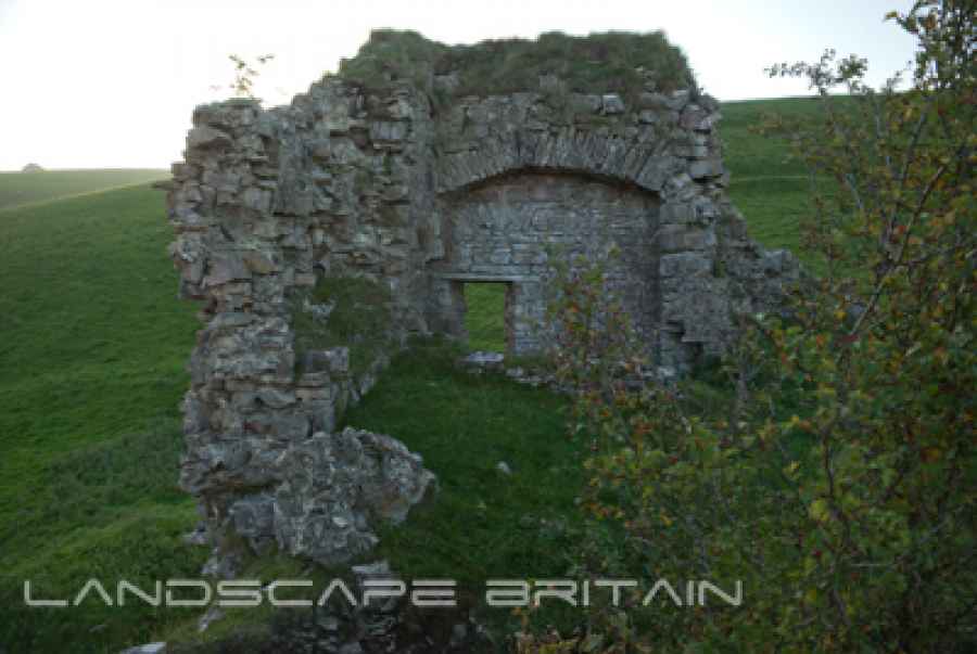
A small corridor and room remain intact in the corner of Lammerside Castle, though it’s probably dangerous to enter due to the fragile state of the rest of the castle. Some elements of the carved stonework survives around door and window frames.
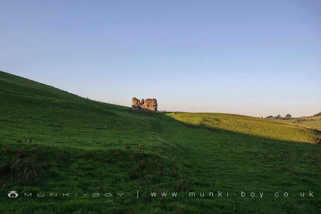
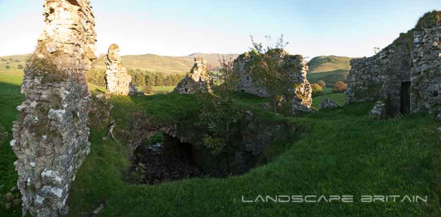
The main interior space of Lammerside Castle has collapsed in the centre and is open to the sky. There are remains of a sprial staircase leading to the upper floor.
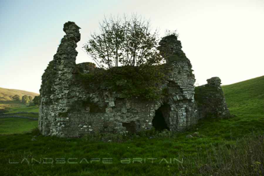
The collapsed upper floor of Lammerside Castle has a large gaping hole in the centre and unstable looking walls. It is possible to see the remnants of doors and rooms that once occupied this space. You can still see an intact upper floor window and part of a room on the upper floor.
Created: 27 November 2016 Edited: 29 November 2023
Lammerside Castle
Lammerside Castle LiDAR Map

Contains public sector information licensed under the Open Government Licence v3.0
Local History around Lammerside Castle
There are some historic monuments around including:
Warren including three pillow mounds at Smardale Demesne, 950m south west of Holme FarmCroglam Castle defended Iron Age settlementRomano-British farmstead 700m east of WhingillWharton Hall, gatehouse, banqueting hall and kitchenIntake Bottom settlement enclosure and hut circle, 500m WSW of Croglam CastleSmardale railway viaductThree round cairns 190m south of White Brackens HouseWaitby Castle enclosed Romano-British settlement and part of a medieval dykeHartley Castle and associated earthworksTwo Romano-British enclosed settlements and an associated regular aggregate field system at Waitby IntakeWhitber Romano-British farmstead 660m south west of Highmore HillSmardale Demesne Romano-British farmstead, 700m south west of Holme FarmRound cairn on the summit of Rasett HillSmardale South Demesne medieval villageRomano-British farmstead 670m ESE of WhingillLammerside Castle medieval tower houseRound barrow 1/4 mile (400m) N of Lammerside CastleRound barrow 1/4 mile (400m) N of Wharton HallWaitby medieval village, part of associated open field system, and site of an associated chapelRookby Scarth medieval settlementRomano-British farmstead 650m south east of WhingillGiants' Graves, four pillow mounds 300m south east of White Brackens HouseRound barrow 200yds (180m) NE of Hell Gill HoweSettlement N of Hartley QuarriesLynchets WNW of Wharton HallPendragon Castle.